

BUDAPEST

The Map
Geographic Setting
Budapest Neighborhood Maps
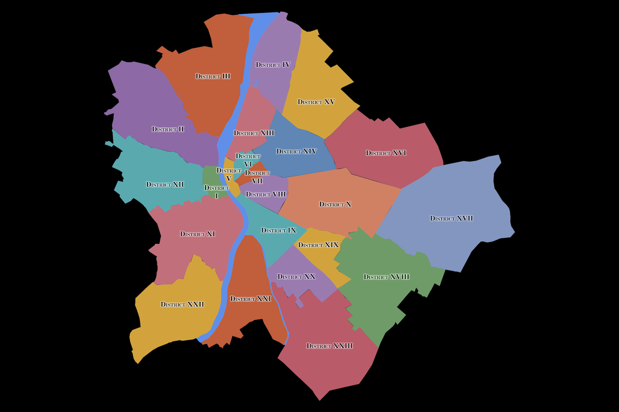
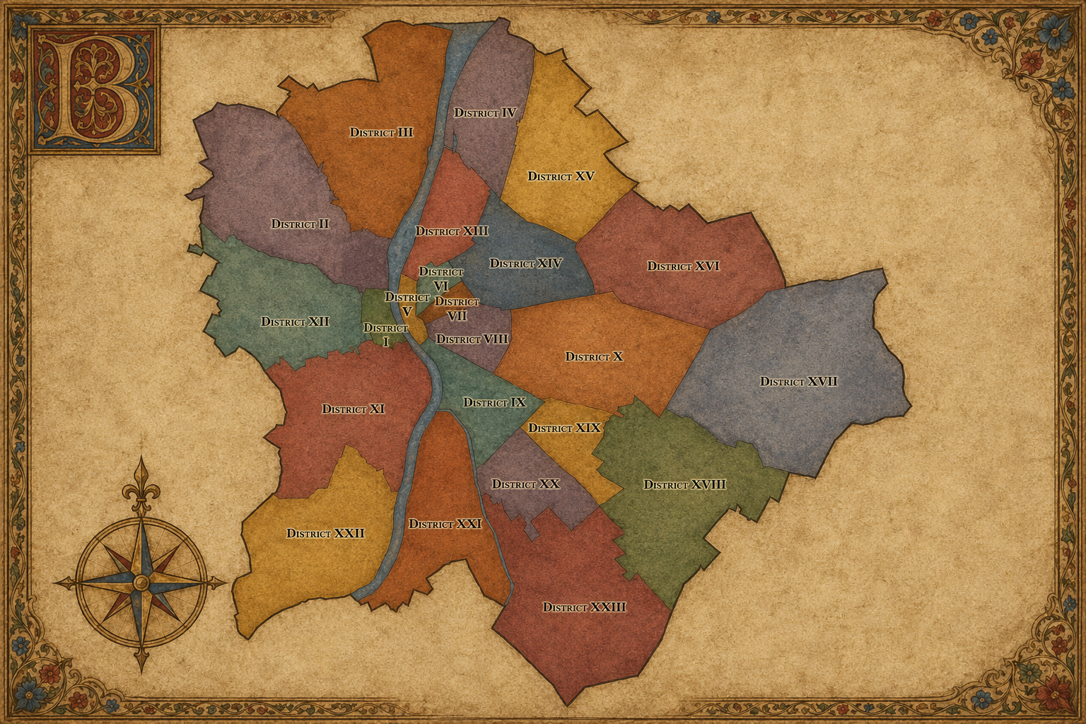
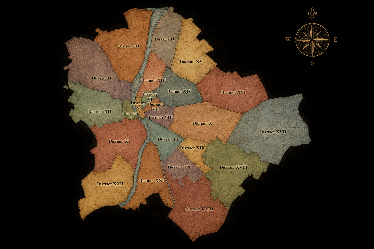
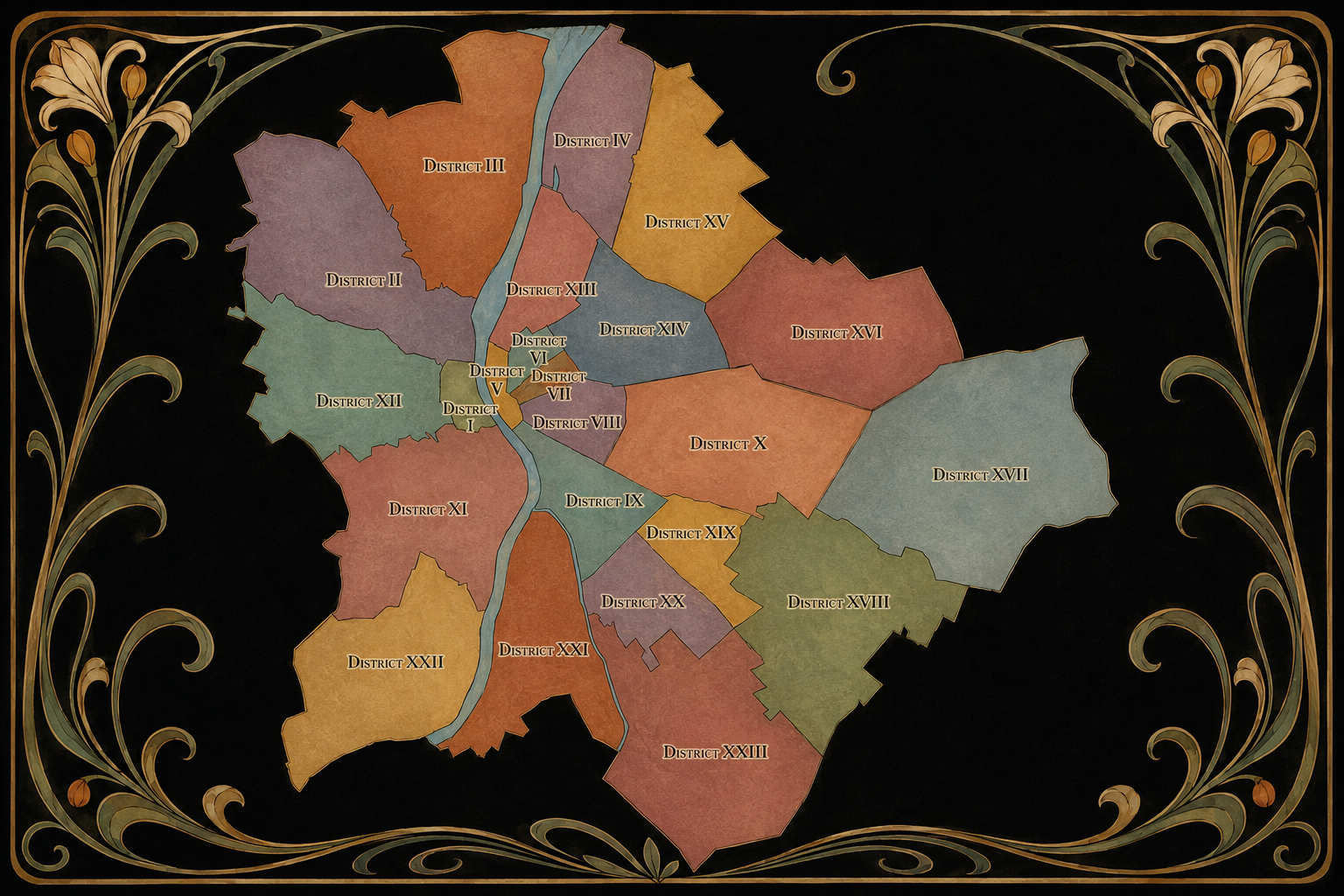
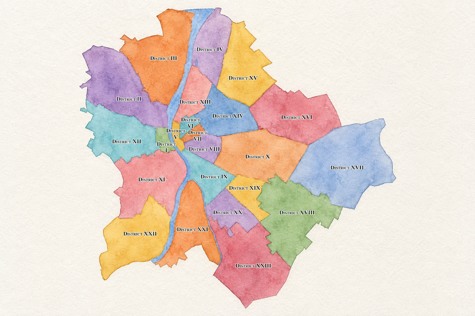
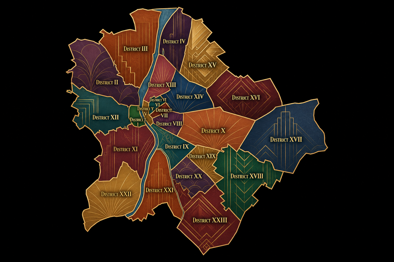
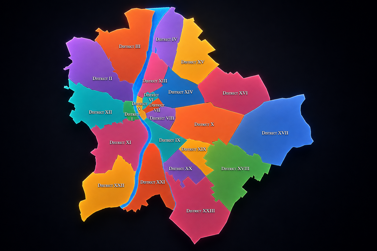

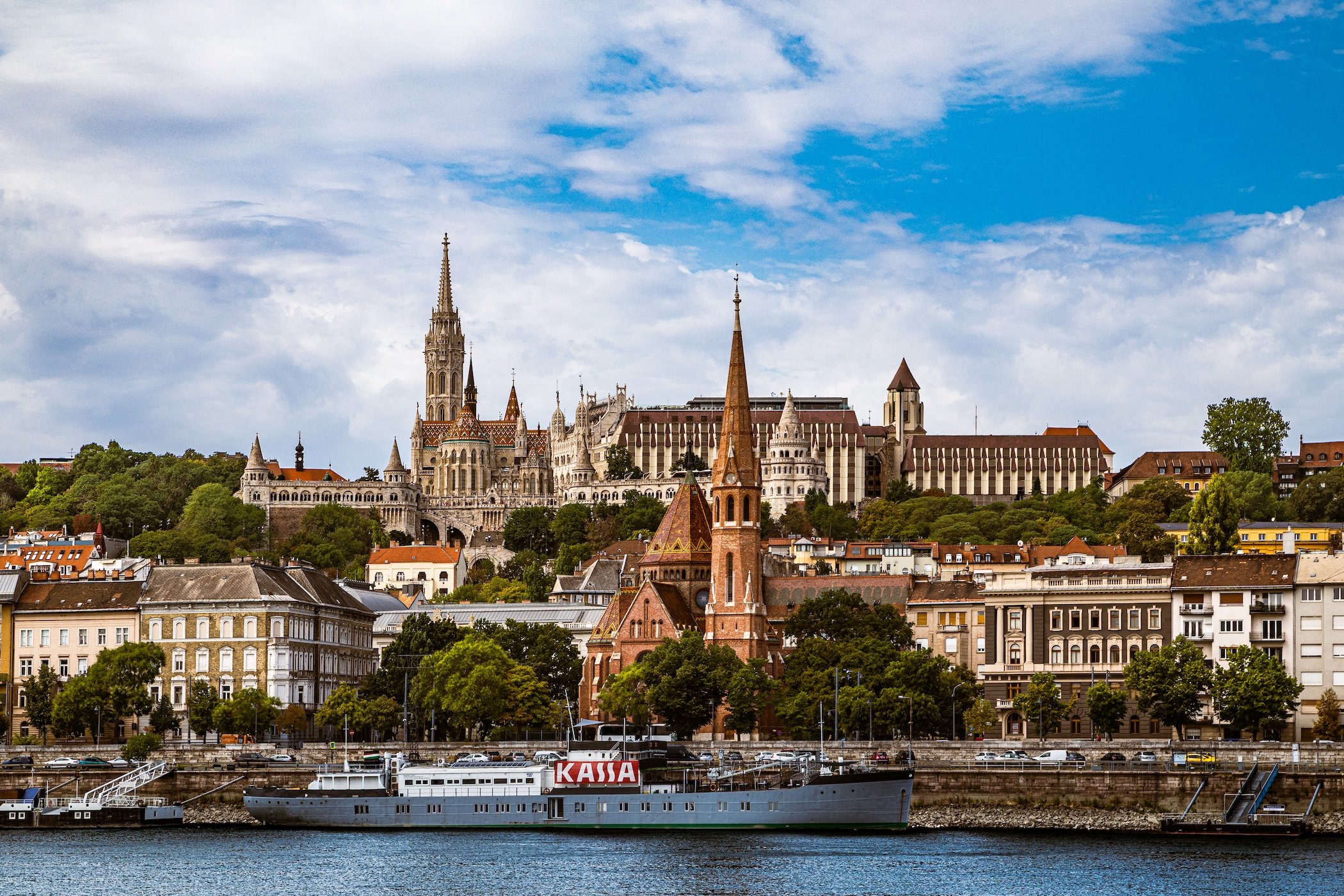
Budapest occupies both banks of the Danube near the center of the Carpathian Basin, but the river divides two markedly different physical landscapes. To the west, Buda rises into a terrain of hills, ridges and wooded slopes, accounting for roughly one-third of the city's 525 square kilometers; János Hill reaches 529 meters and forms the capital's highest point. Across the river, Pest spreads across a broad, comparatively flat plain, allowing the dense boulevards, radial avenues and outward expansion that characterize much of the eastern city. Between them, the Danube is not simply a boundary but the defining geographic axis of Budapest, crossed by a sequence of bridges and punctuated by islands including Margaret Island and the much larger Csepel Island. (Budapest Portál)
The contrast between hill and plain has shaped Budapest as decisively as the river itself. Castle Hill and Gellért Hill establish dramatic elevations immediately beside the Danube, while the Pest bank opens into the comparatively continuous urban fabric of the inner city and its expanding outer districts. Beneath this visible landscape lies another defining feature: a network of thermal springs produced by the city's geology. Used since antiquity and developed extensively during both the Roman and Ottoman periods, these waters helped make bathing not merely an attraction but a recurring element of Budapest's civic and cultural life. Geography here is therefore experienced in layers—river, hills, plain and thermal landscape—each contributing to a city whose two banks remain visibly distinct even after more than 150 years of political unification. (Budapest Portál)
Budapest Identity
Etymology and Origins
The name Budapest preserves the city's most fundamental historical fact: it was created from places that once existed independently. Buda developed on the hilly western bank of the Danube, Pest on the flatter eastern bank, while Óbuda—literally “Old Buda”— occupied the older settlement area farther north. The three were legally brought together during 1872–73, establishing the unified capital whose name joined Buda and Pest into a single word. Before unification, the paired settlements were sometimes referred to collectively as Pest-Buda; afterward, Budapest became the formal identity of a metropolis that nevertheless retained the contrasting landscapes and urban forms of its constituent cities. (UNESCO World Heritage Centre)
The origins of Buda and Pest themselves are considerably older—and not entirely certain. Medieval tradition associated Buda with Bleda, the brother of Attila known in Hungarian tradition as Buda, while linguistic theories have also connected the name with older personal names of Slavic or Turkic origin. The derivation of Pest is somewhat clearer but still debated; one longstanding explanation traces it to a Slavic word meaning an oven or furnace, possibly referring to heated caves or thermal activity around the Danube. The old German name for Buda, Ofen, likewise means “oven,” reinforcing the historic association between the place and heat. Whatever their precise linguistic origins, Buda, Pest and Óbuda are names that long predate the modern capital—and their survival within Budapest allows the city's contemporary identity to carry its earlier geography with it. (Wikisource)
Unification, Organization & Civic Framework
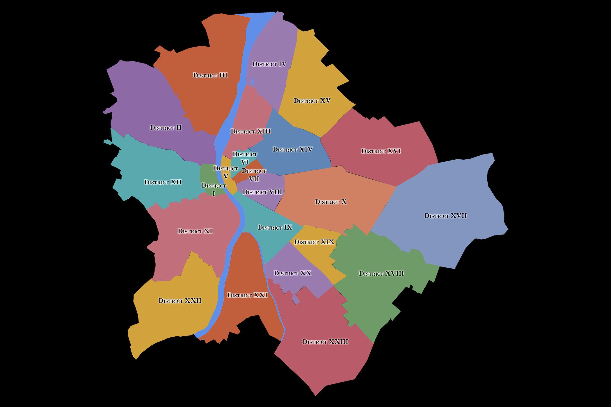
Modern Budapest was formally created in 1873 through the unification of Buda, Pest and Óbuda, but today's city extends considerably beyond those nineteenth-century limits. The creation of Greater Budapest in 1950 absorbed surrounding towns and villages into the capital, helping establish the extensive municipal territory recognizable today. Budapest is now divided into 23 numbered districts, or kerületek, each functioning as a genuine unit of local government. The capital has an unusual two-tier municipal structure: Budapest itself has a city government and mayor, while each district has its own elected mayor and representative body. The district governments are not simply administrative branches subordinate to City Hall; they possess their own legal responsibilities, while the Budapest Municipality handles functions whose scope extends across districts or concerns the capital as a whole. (Budapest Portál)
The districts should not be confused with Budapest's neighborhoods, or városrészek. A district is a civic and governmental territory; a városrész is a finer geographic and historical subdivision representing a recognizable part of the city. Municipal regulations describe városrészek as contiguous areas formed through historical development or later construction, and while most lie within a single district, some extend across district boundaries. Thus District XI—Újbuda—contains places such as Kelenföld, Lágymányos, Albertfalva and Gazdagrét, while District XV contains Rákospalota, Pestújhely and Újpalota. The distinction is essential to understanding Budapest: districts explain how the city is governed, while neighborhoods reveal how its geography becomes local and lived. A district may contain numerous communities with their own histories, built forms and identities, even though they share the same municipal government. (Budapest Portál)
Cultural Life & Public Imagination
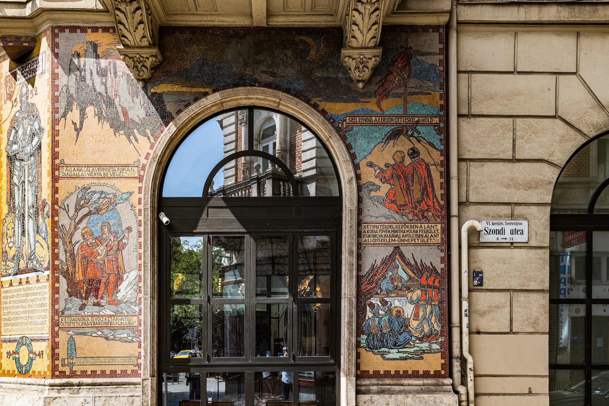
Budapest's cultural identity emerges partly from the coexistence of worlds that its geography and history placed beside one another. Medieval and Baroque Buda looks across the Danube toward the monumental nineteenth-century cityscape of Pest; Roman ruins coexist with Ottoman baths, Art Nouveau façades, socialist housing estates and contemporary development. The café, theatre, concert hall, market, bath and public square have all played important roles in Budapest's social life, while Hungarian music, literature, food and political memory repeatedly enter the physical landscape through monuments, institutions and everyday rituals. UNESCO describes Budapest as an exceptional Central European city precisely because it has repeatedly received, absorbed and reinterpreted cultural influences, leaving different historical periods legible within the same urban environment. (UNESCO World Heritage Centre)
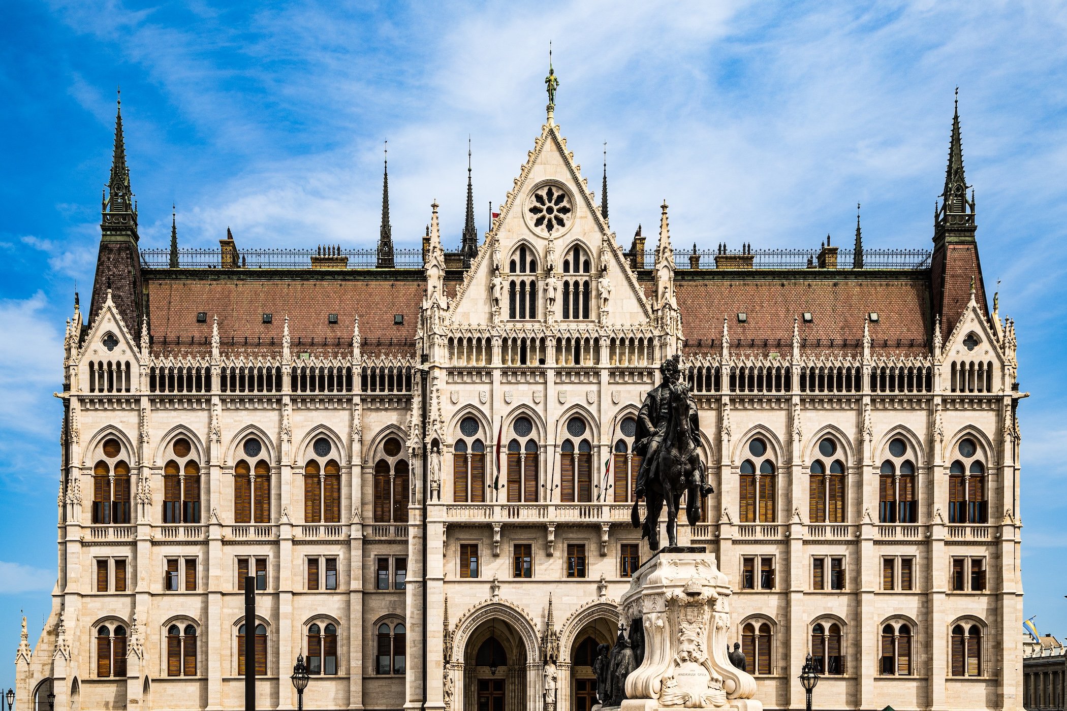
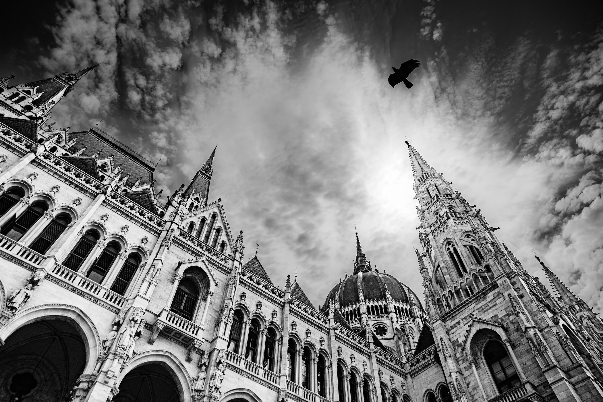
That accumulated identity has also shaped the Budapest of public imagination: the illuminated Parliament reflected in the Danube, Chain Bridge between Buda and Pest, Castle Hill above the river, thermal baths, grand cafés, yellow trams and the dense streets of the inner districts. Contemporary tourism has added further imagery—from ruin bars and nightlife to panoramic river cruises—sometimes concentrating international attention on a relatively small portion of a much larger and more varied city. Yet Budapest's appeal is rooted precisely in the tension between the celebrated and the ordinary. Beyond the monumental riverfront lies a capital of residential courtyards, neighborhood shopping streets, aging façades, housing estates, parks, industrial remnants and communities incorporated from once-independent towns and villages. The internationally imagined Budapest is real, but it is only one layer of a city whose identity becomes more complicated—and more revealing—the farther one moves from its familiar icons. (UNESCO World Heritage Centre)
CityNeighborhoods Insights
Administrative quarters are not arrondissements, and they are not exactly neighborhoods in the cultural sense. That distinction is not a weakness. It is the reason they are so valuable.
The arrondissement is the larger municipal district: numbered, civic, familiar, and strongly embedded in the way Paris presents itself to the world. It gives the city its famous spiral and provides the broad frame through which residents, visitors, and institutions locate themselves.
The administrative quarter is smaller and more archival. It is an official subdivision of the arrondissement, but its identity can vary greatly from place to place. Some administrative quarters are widely recognized by name. Others sit quietly beneath better-known cultural districts, metro names, landmarks, or local usage. Some feel close to lived neighborhoods; others are better understood as civic inheritances from the nineteenth-century map.
The conseil de quartier is different again. It belongs to the contemporary life of local participation, municipal consultation, and neighborhood engagement. Its geography reflects civic practice rather than simply historical subdivision.
The cultural neighborhood is the most fluid of all. Le Marais, Saint-Germain-des-Prés, the Latin Quarter, Montmartre, Belleville, Batignolles, the Butte-aux-Cailles, or the Faubourg Saint-Antoine may carry tremendous cultural power, but their borders breathe. They expand, contract, overlap, and shift depending on history, architecture, commerce, memory, and who is doing the naming.
The administrative quarter stands among these layers with a quieter authority. It may not always be the name most often spoken on the street, but it gives the street a place within the city’s official memory.
Explore Worldwide
-

Explore cities through their geography, history, neighborhoods, photography, and the observations gathered by CityNeighborhoods along the way.
-

Discover significant places beyond the city scale—from historic landmarks and cultural sites to landscapes, monuments, and destinations worthy of deeper exploration.
-

Explore CityNeighborhoods by country, bringing together its cities, featured sites, smaller destinations, and journeys across the wider landscape.
-

Follow the themes that cross borders and connect places—revealing shared histories, contrasting identities, recurring patterns, and unexpected relationships across the world.
-

Go behind the exploration through essays on photography, walking, observation, mapping, and the ideas and methods that shape CityNeighborhoods Worldwide.