
14e - OBSERVATOIRE
Les Conseils de Quartier
In the 14e, the conseils de quartier frame local life across Montparnasse, Alésia, Parc Montsouris, Plaisance, and the southern residential streets that carry the memory of old villages and artistic Paris. Part of an ongoing project to walk and photograph every neighborhood in Paris, this page explores the conseils de quartier of 14e Observatoire through maps, local identity, civic geography, and photography.
Explore This Page


Explore the Conseils de Quartier of the 14e — Observatoire
Overview
Geographic Setting
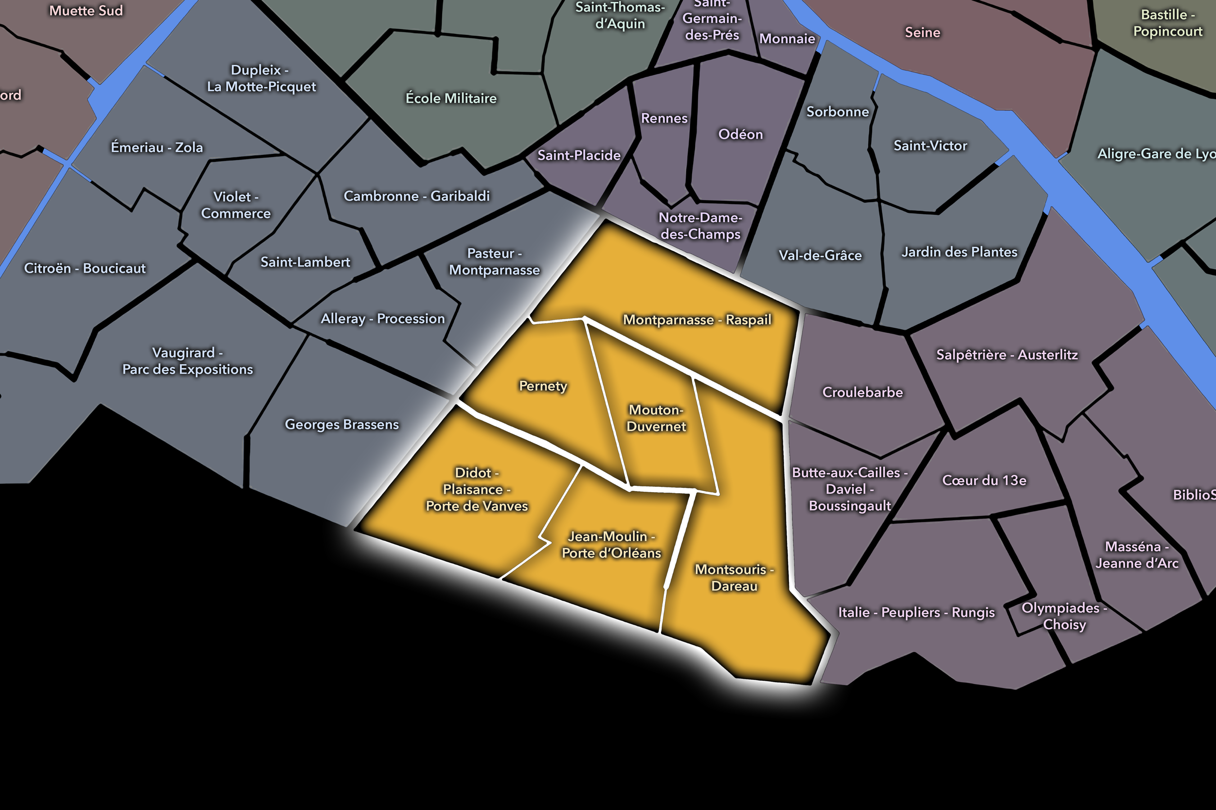
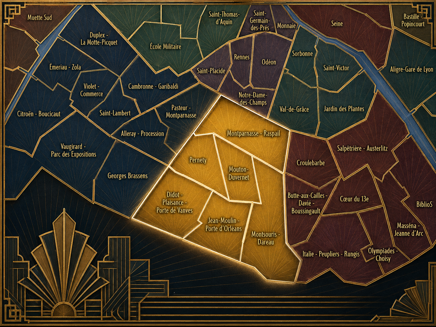
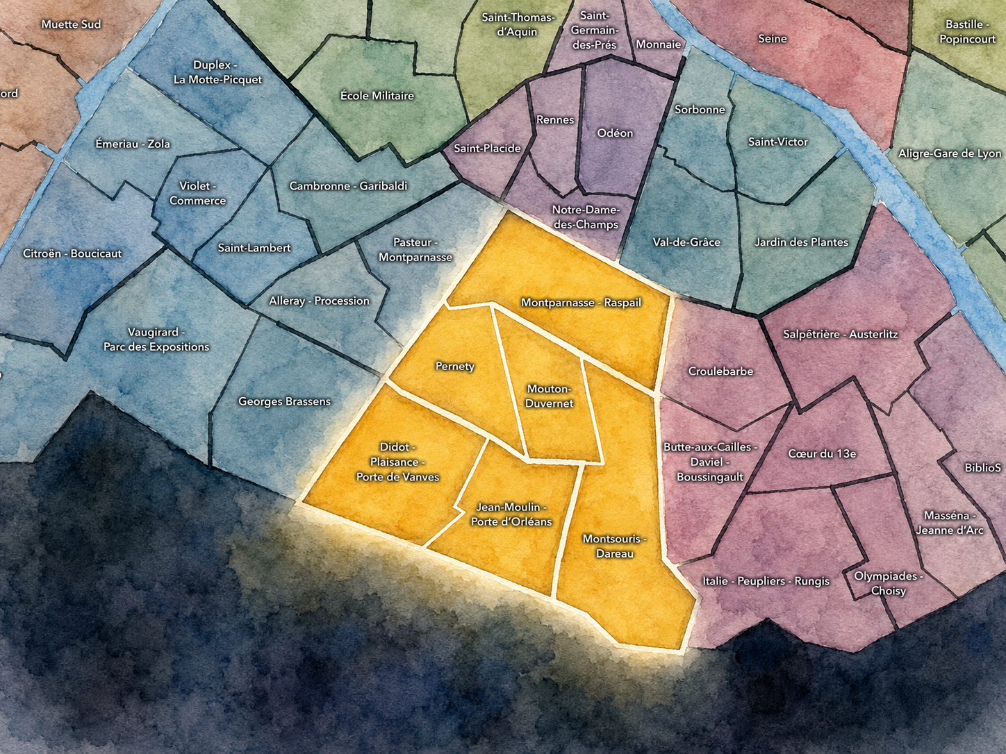
The Conseils de Quartier of the 14e organize local civic life across the southern edge of inner Paris, where Montparnasse’s urban intensity gives way to residential streets, railway corridors, cemeteries, hospitals, parks, and the city’s portes. Set between the Left Bank interior and the boundary with Montrouge, Malakoff, and Gentilly, the 14e is shaped by movement southward: from the tower and station district around Montparnasse, through the neighborhood streets of Pernety and Plaisance, toward Parc Montsouris, Porte d’Orléans, Porte de Vanves, and the broader southern threshold of the capital.
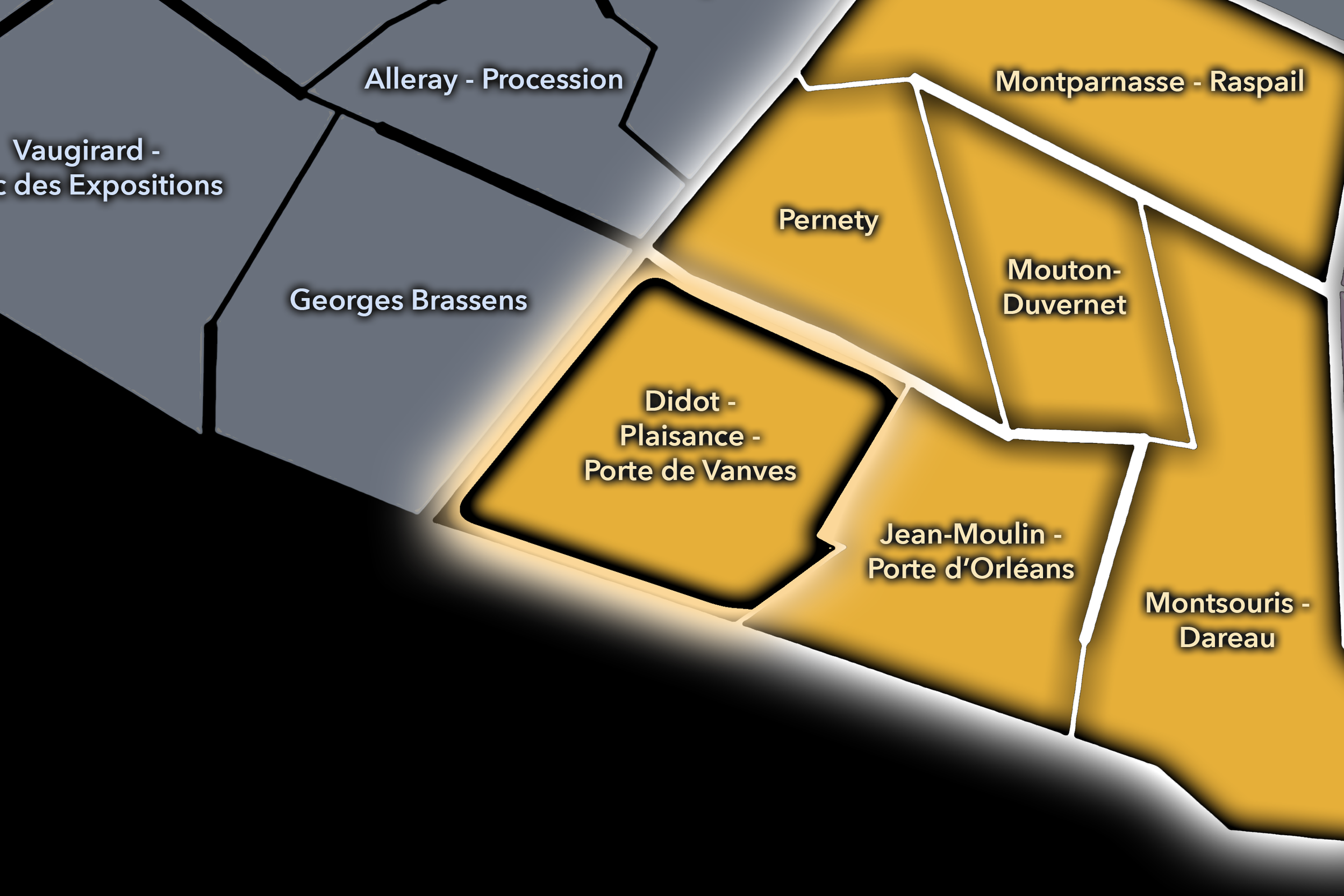
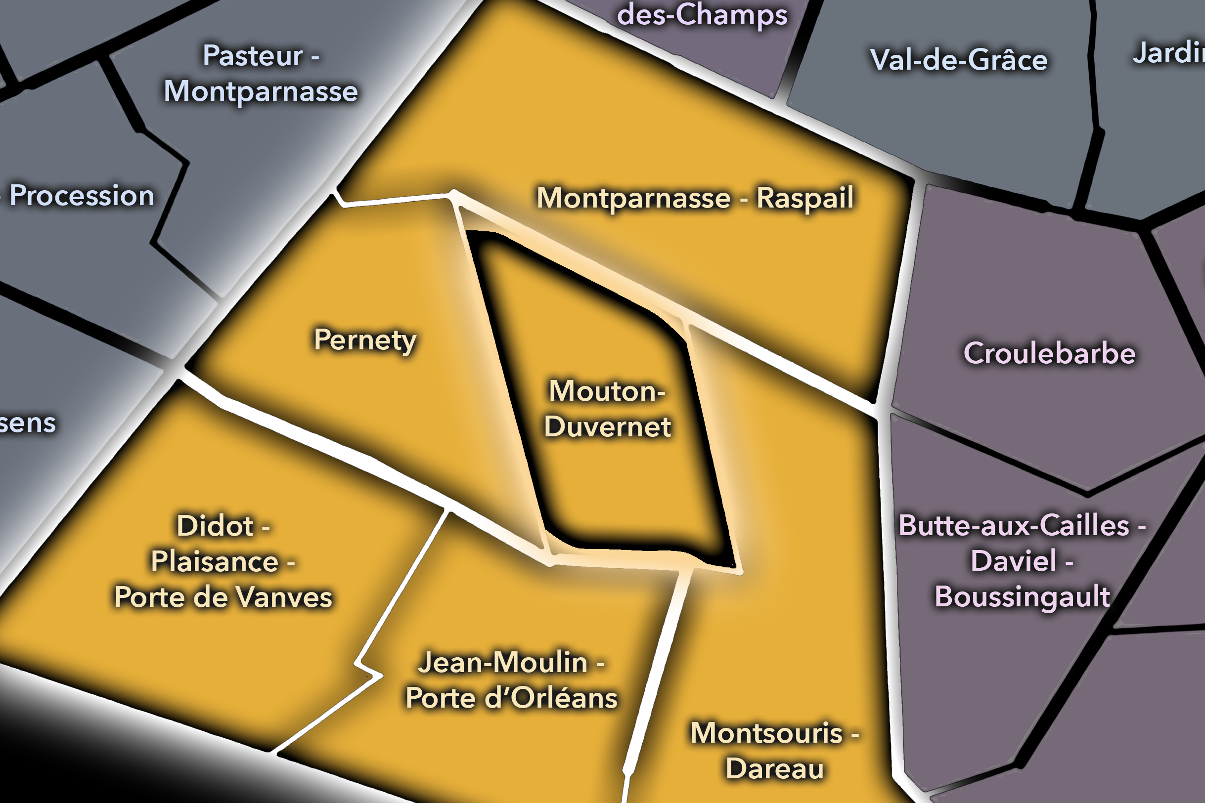
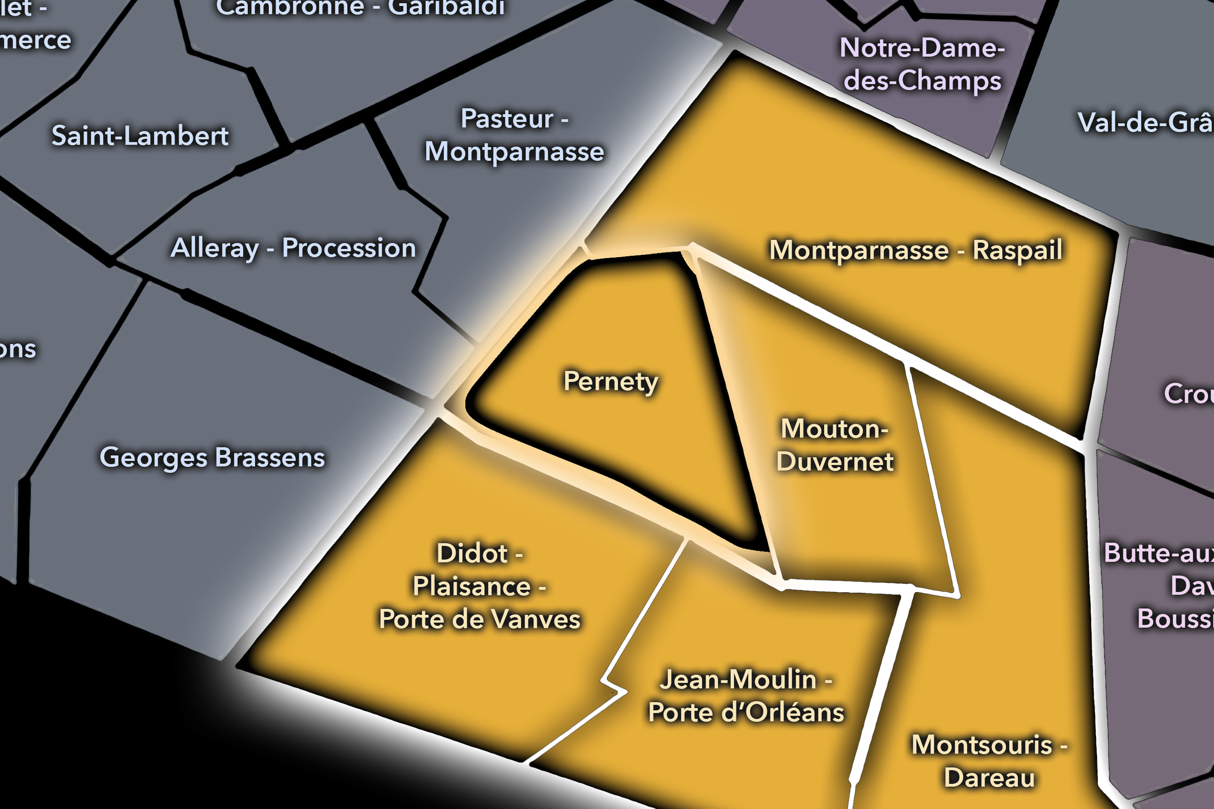
The 14e’s Conseil de Quartier structure divides this landscape into six civic territories: Montparnasse - Raspail, Mouton-Duvernet, Pernety, Montsouris - Dareau, Jean-Moulin - Porte d’Orléans, and Didot - Plaisance - Porte de Vanves. Rather than simply repeating the arrondissement’s four official Administrative Quarters, this six-council structure gives the 14e a more precise participatory geography. It distinguishes between the Montparnasse-facing north, the residential and commercial center around Mouton-Duvernet, the village-like texture of Pernety, the green and institutional landscape near Montsouris, and the southern edge districts around Porte d’Orléans, Plaisance, Didot, and Porte de Vanves.
Together, these six CdQs reveal the 14e as an arrondissement of transitions. It is neither purely central nor peripheral, neither purely monumental nor anonymous. Its civic geography moves between major infrastructure and intimate streets: railway station and cemetery, market street and hospital campus, park gate and tramway stop, artists’ memory and everyday residential life. The CdQ layer helps make those internal differences legible at the scale of the neighborhood.
Civic Framework
The 14e’s Conseils de Quartier provide a neighborhood-level civic structure for an arrondissement whose identity is quieter than many central districts but no less complex. The district includes major transit corridors, schools, hospitals, cemeteries, theaters, markets, residential blocks, parks, social housing, commercial streets, and boundary zones where Paris meets its southern suburbs. Its CdQs give residents, shopkeepers, workers, students, families, commuters, and local institutions a more precise scale for discussing public space and everyday concerns.
The six-council framework appears especially responsive to the 14e’s geography of edges and local centers. Montparnasse - Raspail gathers the northern district around one of Paris’s major station and office landscapes. Mouton-Duvernet and Pernety distinguish the arrondissement’s residential-commercial core, where local markets, schools, cafés, and side streets create strong neighborhood identities. Montsouris - Dareau gives civic shape to the garden, hospital, and institutional landscapes in the southeast, while Jean-Moulin - Porte d’Orléans and Didot - Plaisance - Porte de Vanves organize the southern gateway districts around transit, housing, local services, and the city boundary.
As a civic framework, the 14e’s CdQs help organize questions of mobility, greening, public-space comfort, school streets, station-area circulation, residential quality of life, market vitality, accessibility, cemetery and park edges, and the relationship between Paris proper and the communities just beyond the périphérique. The CdQ layer is especially useful here because the 14e’s character is not concentrated in one symbolic landmark, but distributed across a network of lived local places.
Local Expression
Viewed through its Conseils de Quartier, the 14e becomes a family of southern Paris landscapes. Montparnasse - Raspail expresses the arrondissement’s metropolitan face, shaped by station movement, office towers, theaters, cafés, and the memory of artistic Montparnasse. Mouton-Duvernet and Pernety reveal a more neighborhood-scaled 14e, where markets, local commerce, schools, residential streets, and café life create a strong sense of everyday Paris away from the main tourist routes.
Montsouris - Dareau gives the arrondissement one of its greenest and most institutional expressions, linking Parc Montsouris, hospital landscapes, schools, and quieter residential streets. Jean-Moulin - Porte d’Orléans and Didot - Plaisance - Porte de Vanves bring the 14e toward its southern edge, where tramways, portes, apartment blocks, local shopping streets, and connections to neighboring communes shape a more outward-facing civic landscape.
The value of the CdQ layer in the 14e is that it makes visible a Paris of thresholds and routines. Through its six councils, the arrondissement can be read at the scale of the market stall, the station entrance, the park path, the cemetery wall, the school block, the neighborhood café, the tram stop, and the residential street leading toward the edge of the city. These CdQs reveal the 14e as a district of daily life: grounded, transitional, quietly layered, and deeply connected to the southern fabric of Paris.
Les Conseils de Quartier
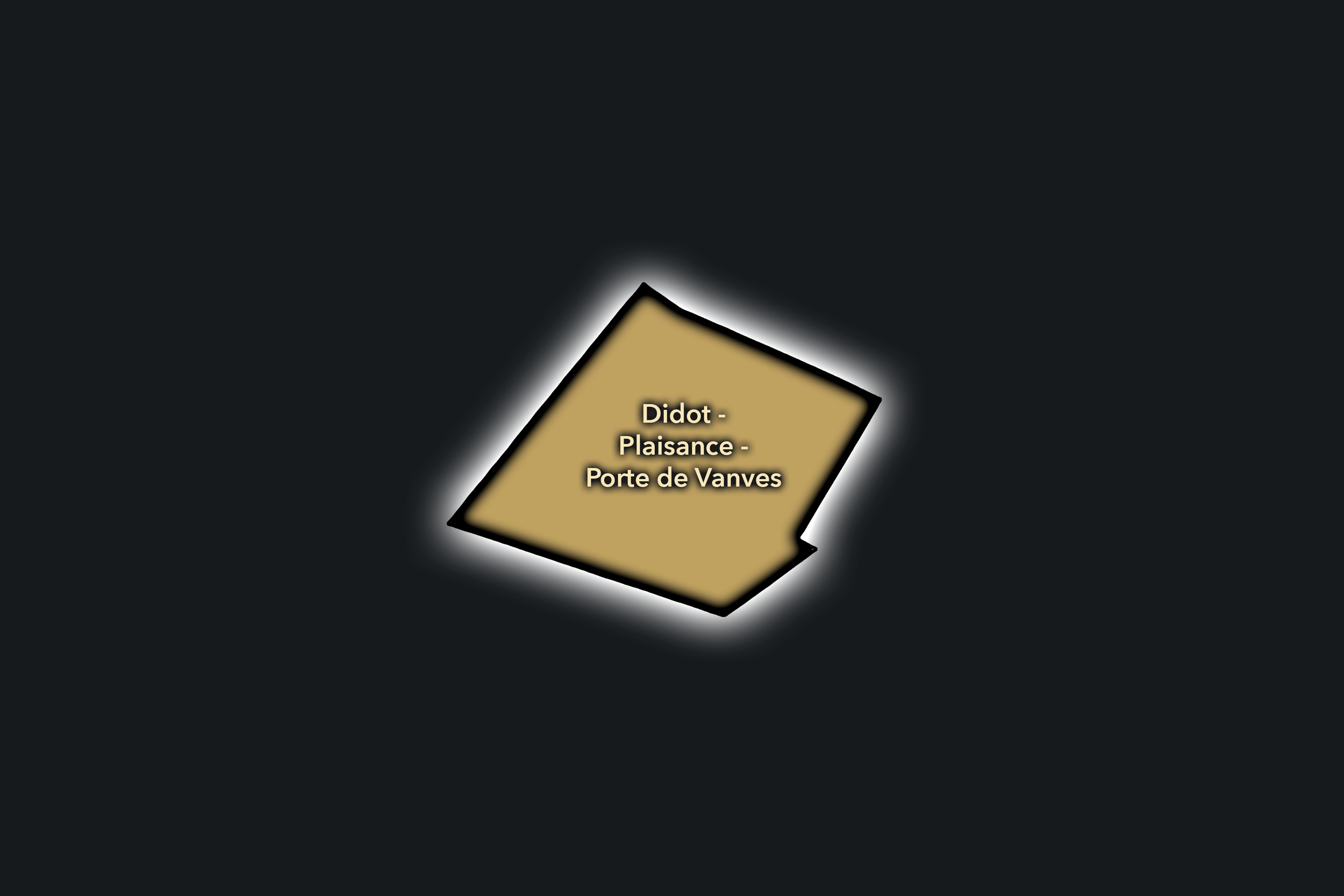
Didot - Plaisance - Porte de Vanves
Civic Profile
The Didot - Plaisance - Porte de Vanves Conseil de Quartier gives civic shape to the southwestern side of the 14e, where Plaisance, Rue Didot, Porte de Vanves, residential streets, local shops, schools, tramway access, and the edge of Paris form a strongly lived neighborhood landscape. As a civic territory, it connects the village-like and residential textures of Plaisance with the more infrastructural southern boundary near the périphérique, creating a district defined by both local continuity and outward movement.
On the ground, Didot - Plaisance - Porte de Vanves feels residential, grounded, and quietly active. Rue Didot and the surrounding streets support everyday commerce, cafés, schools, apartment blocks, and neighborhood services, while Porte de Vanves brings market life, tramway movement, hotels, edge infrastructure, and connections toward Malakoff and Vanves. Its civic themes center on residential quality of life, public-space maintenance, school streets, local commerce, traffic near the city edge, market activity, pedestrian comfort, and the balance between neighborhood calm and the practical demands of a southern gateway district.
Didot - Plaisance - Porte de Vanves: At a Glance
A curated list for you.
-

Major Streets
Rue Didot
Rue Raymond Losserand
Rue d’Alésia
Boulevard Brune
Rue des Plantes
-

Public Spaces & Landmarks
Porte de Vanves
Marché aux Puces de la Porte de Vanves
Square du Chanoine-Viollet nearby
Église Notre-Dame-du-Travail nearby
Plaisance neighborhood streets
-
Transit Access
Porte de Vanves
Plaisance
Pernety nearby
Tramway T3a access
Malakoff - Plateau de Vanves nearby
-
Shopping & Dining
Rue Didot local shops
Rue Raymond Losserand cafés
Porte de Vanves flea-market area
Plaisance neighborhood bakeries
Local brasseries around Porte de Vanves
-
Hotels & Attractions
Marché aux Puces de la Porte de Vanves
Plaisance walking route
Southern Paris gateway
Vanves / Malakoff edge access
Montparnasse nearby
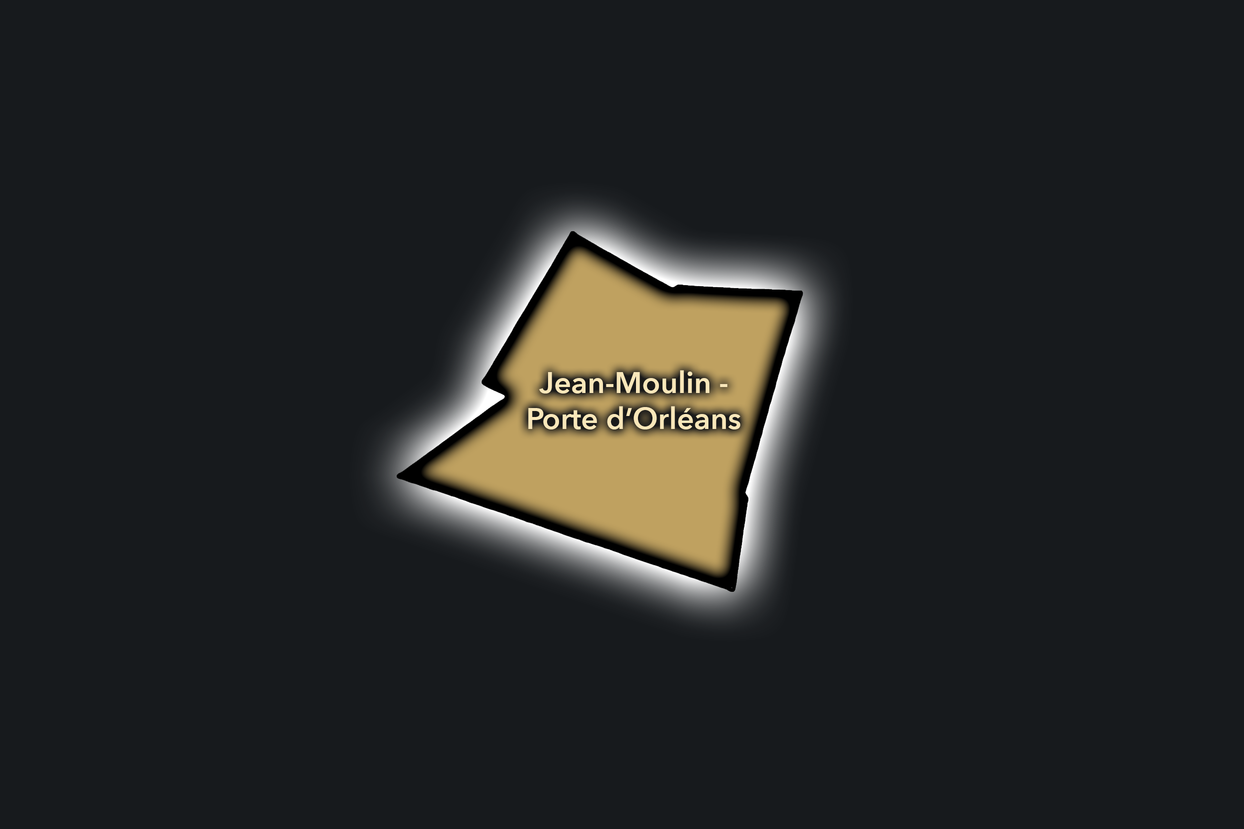
Jean-Moulin - Porte d’Orléans
Civic Profile
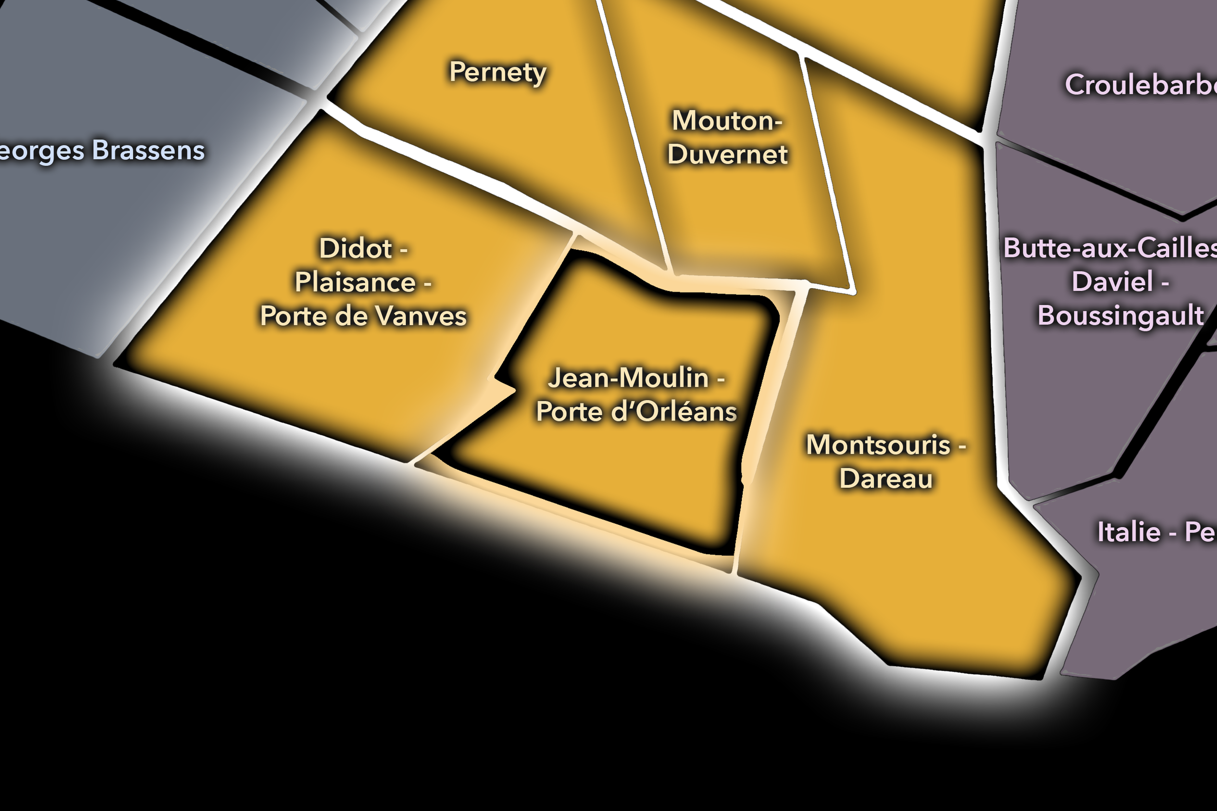
The Jean-Moulin - Porte d’Orléans Conseil de Quartier organizes the southern gateway of the 14e, where Avenue du Général Leclerc, Boulevard Jourdan, Porte d’Orléans, tramway access, schools, apartment blocks, local shops, and the edge of Paris meet. As a civic territory, it is strongly shaped by movement across the city boundary: commuters, residents, students, buses, trams, cars, pedestrians, and visitors all pass through a district that connects inner Paris to Montrouge and the wider southern suburbs.
On the ground, Jean-Moulin - Porte d’Orléans feels practical, busy, and border-oriented. Its identity is less about a single landmark than about the everyday civic realities of an urban threshold: transit access, traffic, local commerce, housing, school routes, and public-space quality along broad avenues and porte conditions. Its civic themes center on pedestrian safety, transit connections, traffic calming, neighborhood services, greening, accessibility, and the challenge of making a major city gateway function as a livable local district.
Jean-Moulin - Porte d’Orléans: At a Glance
A curated list for you.
-
Major Streets
Avenue du Général Leclerc
Boulevard Jourdan
Rue de la Tombe-Issoire
Rue Friant
Rue d’Alésia nearby
-
Public Spaces & Landmarks
Porte d’Orléans
Place du 25-Août-1944
Square du Serment-de-Koufra
Parc Montsouris nearby
Cité Internationale Universitaire nearby
-
Transit Access
Porte d’Orléans
Alésia nearby
Tramway T3a access
Montrouge connections nearby
Cité Universitaire nearby
-
Shopping & Dining
Avenue du Général Leclerc shops
Porte d’Orléans cafés
Alésia neighborhood commerce nearby
Local bakeries and brasseries around Porte d’Orléans
Southern 14e hotel cafés and restaurants
-
Hotels & Attractions
Porte d’Orléans gateway
Parc Montsouris nearby
Cité Universitaire nearby
Alésia / southern 14e walking route
Montrouge edge access
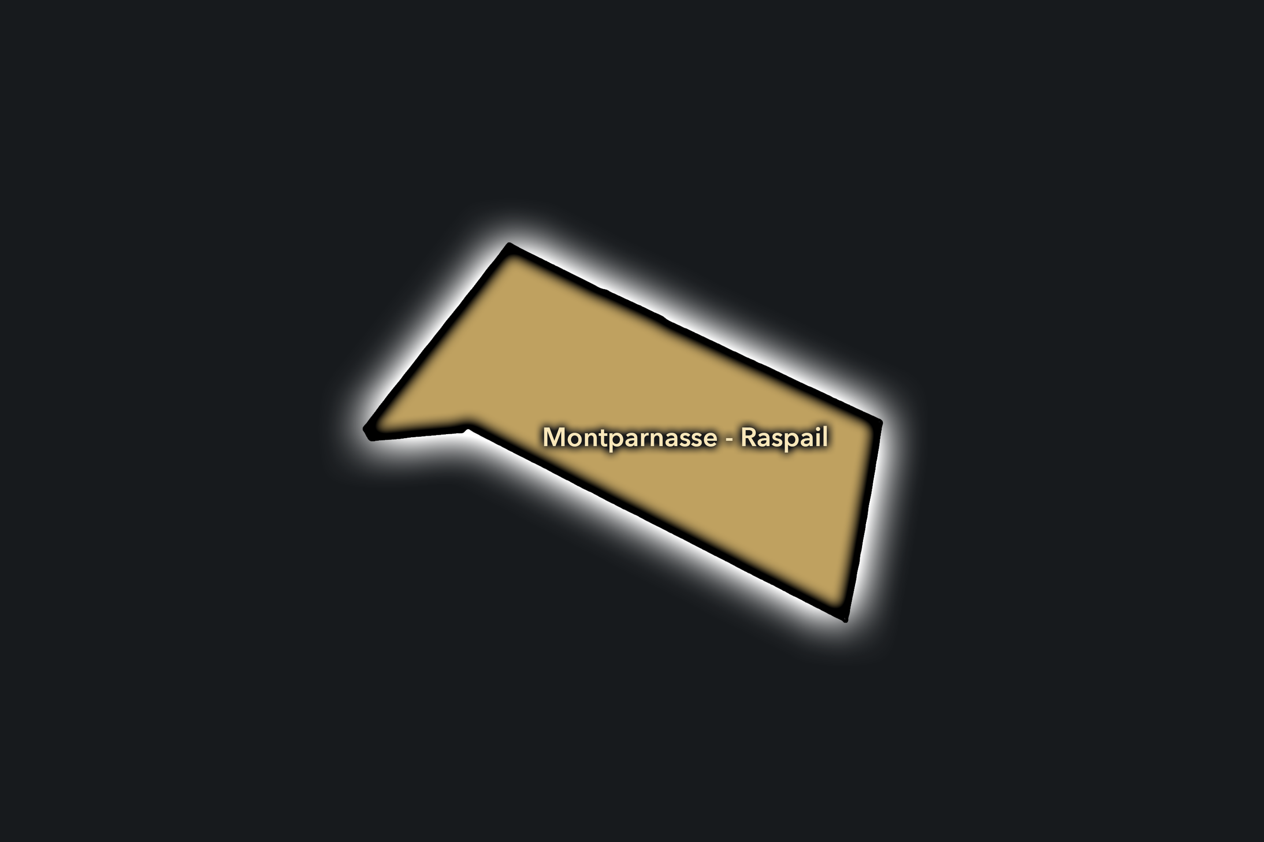
Montparnasse - Raspail
Civic Profile
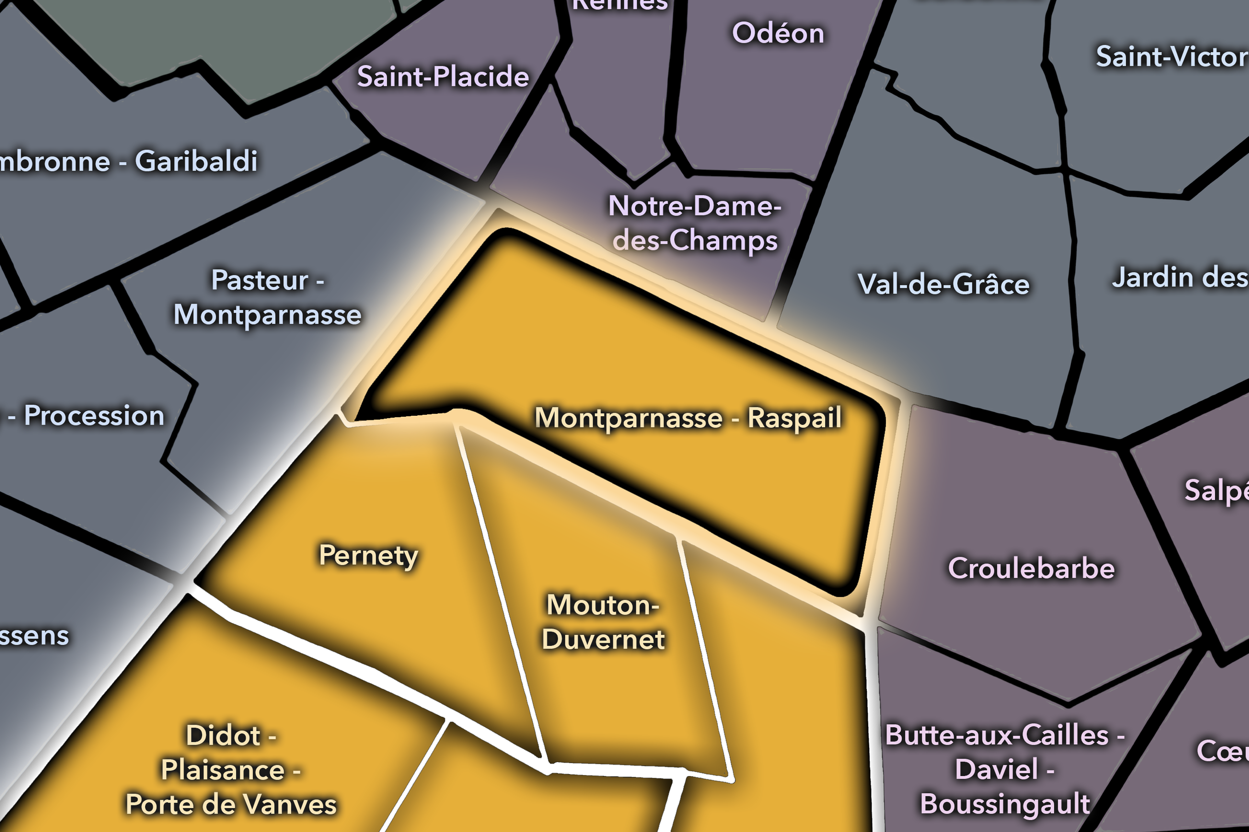
The Montparnasse - Raspail Conseil de Quartier gives civic form to the northern edge of the 14e, where the arrondissement meets one of Paris’s major station, office, theater, and café landscapes. Centered around Boulevard du Montparnasse, Boulevard Raspail, Gare Montparnasse, and the streets leading toward Denfert-Rochereau and the 6e, this CdQ is shaped by movement, memory, and transition: railway access, office towers, hotels, cinemas, brasseries, residential blocks, schools, and the lingering cultural identity of artistic Montparnasse.
On the ground, Montparnasse - Raspail feels metropolitan and transitional. The station and tower give the area a large-scale urban presence, while the side streets, cafés, theaters, and residential blocks keep it tied to everyday Left Bank life. Its civic themes center on station-area circulation, pedestrian comfort, hotel and office traffic, public-space quality around major boulevards, theater and restaurant activity, and the challenge of keeping a heavily trafficked gateway district connected to local neighborhood routines.
Montparnasse - Raspail: At a Glance
A curated list for you.
-
Major Streets
Boulevard du Montparnasse
Boulevard Raspail
Avenue du Maine
Rue Delambre
Rue de la Gaîté
-
Public Spaces & Landmarks
Gare Montparnasse
Tour Montparnasse
Cimetière du Montparnasse
Place Denfert-Rochereau nearby
Fondation Cartier nearby
-
Transit Access
Montparnasse - Bienvenüe
Edgar Quinet
Vavin
Raspail
Denfert-Rochereau nearby
-
Shopping & Dining
Montparnasse station district
Tour Montparnasse observation deck
Montparnasse theater corridor
Historic café circuit
Catacombs nearby
-
Hotels & Attractions
Place d’Italie central hub
13e mairie district
Butte-aux-Cailles walking route nearby
Gobelins / Avenue des Gobelins approach
Southern Left Bank hotel corridor
Montsouris - Dareau
Civic Profile
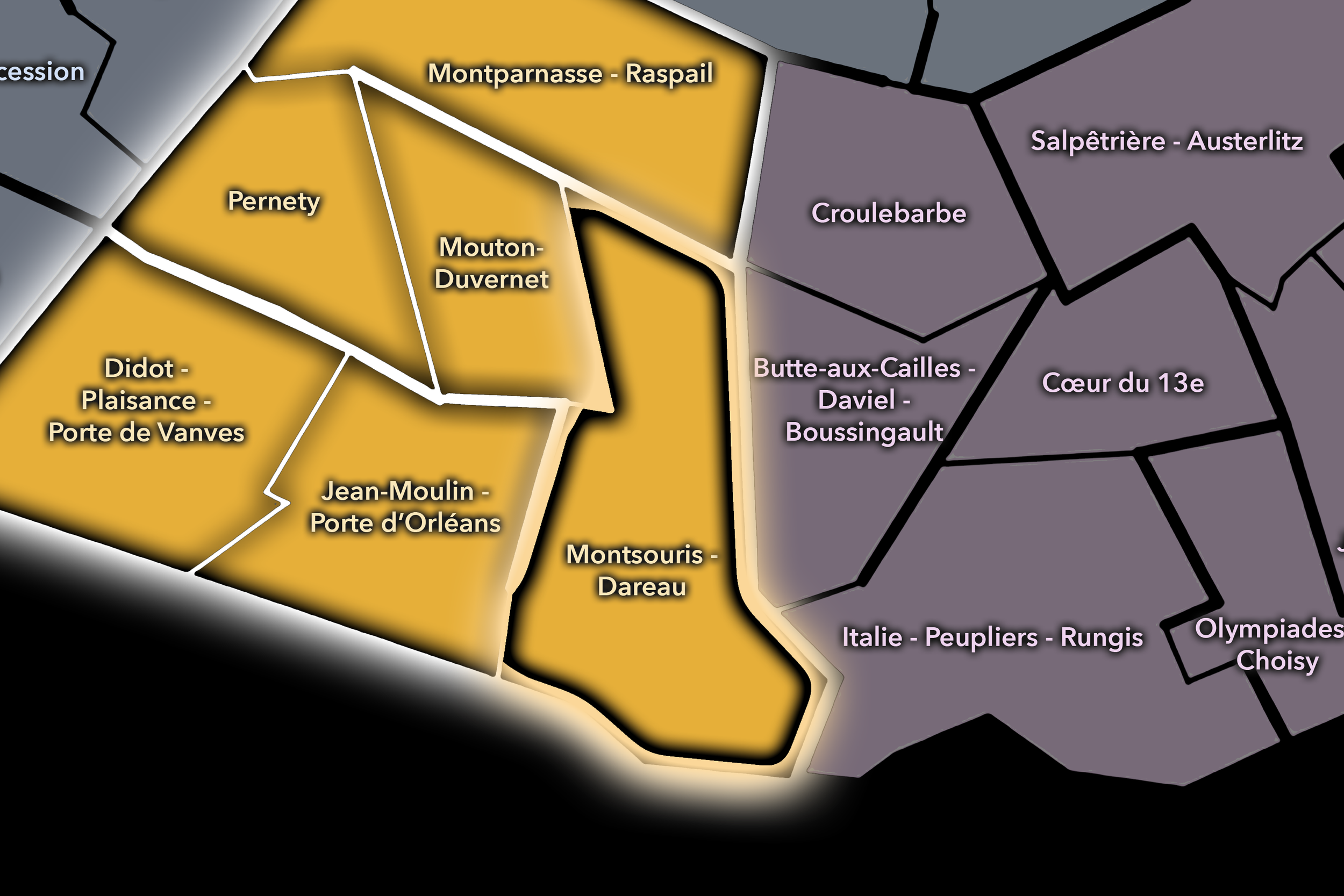
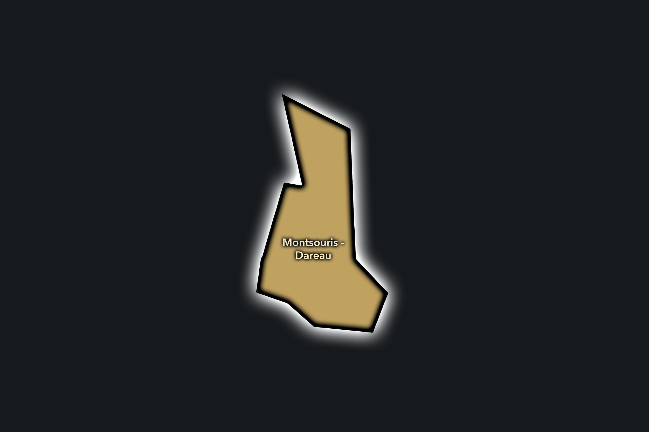
The Montsouris - Dareau Conseil de Quartier gives civic form to the southeastern side of the 14e, where Parc Montsouris, hospital and university-adjacent streets, residential blocks, schools, gardens, and the approaches toward Cité Universitaire create one of the arrondissement’s greenest local landscapes. As a civic territory, it is shaped by the relationship between neighborhood life and large public institutions: park paths, school routes, hospital edges, student movement, family routines, and quiet residential streets all meeting near the southern threshold of Paris.
On the ground, Montsouris - Dareau feels open, leafy, and institutional without losing its residential calm. Parc Montsouris gives the district a major public-space anchor, while the surrounding streets carry a softer rhythm of apartment buildings, cafés, schools, and local services. Its civic themes center on park access and maintenance, pedestrian comfort, school and family movement, hospital and institutional access, traffic near major boulevards, greening, and the balance between local neighborhood quiet and the broader public use of one of southern Paris’s most important parks.
Montsouris - Dareau: At a Glance
A curated list for you.
-
Major Streets
Avenue Reille
Rue Dareau
Rue Gazan
Boulevard Jourdan
Rue d’Alésia
-
Public Spaces & Landmarks
Parc Montsouris
Cité Internationale Universitaire nearby
Hôpital Sainte-Anne nearby
Réservoirs de Montsouris
Square de Montsouris nearby
-
Transit Access
Cité Universitaire
Porte d’Orléans nearby
Glacière nearby
Alésia nearby
Tramway T3a access nearby
-
Shopping & Dining
Avenue Reille cafés
Rue d’Alésia local shops
Parc Montsouris cafés and kiosks
Cité Universitaire dining nearby
Local bakeries around Dareau / Reille
-
Hotels & Attractions
Parc Montsouris walking route
Cité Internationale Universitaire
Square de Montsouris villas nearby
Southern Paris green corridor
Porte d’Orléans gateway nearby
Mouton-Duvernet
Civic Profile
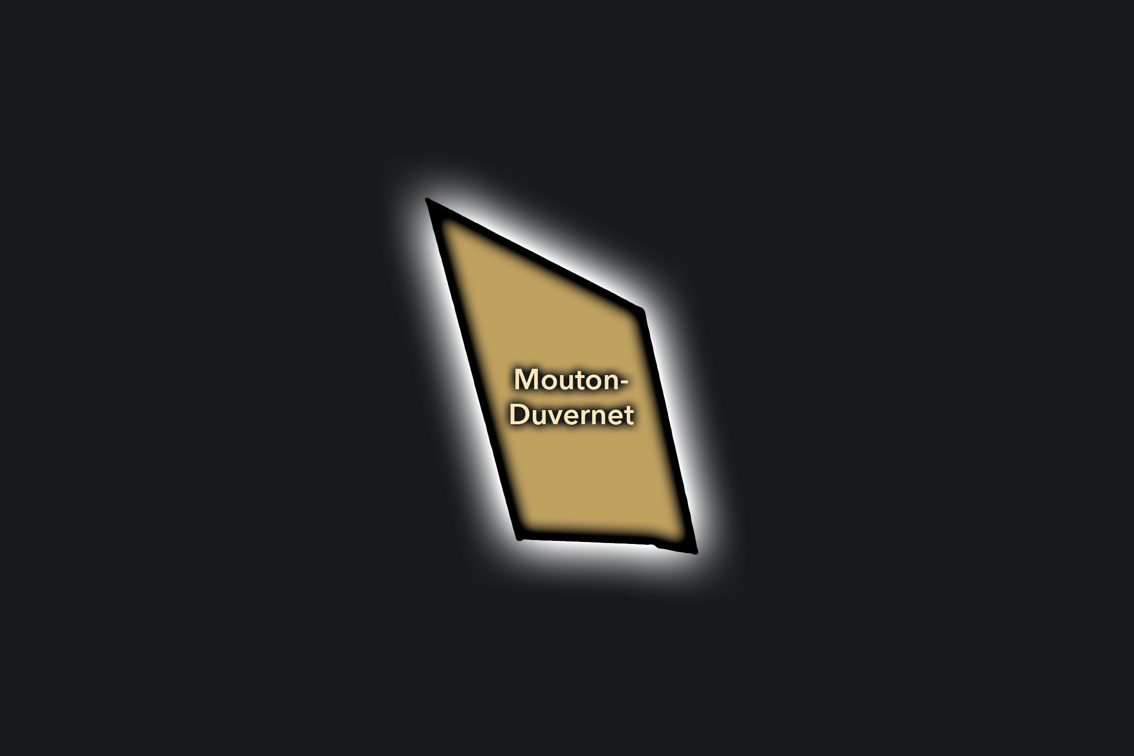
The Mouton-Duvernet Conseil de Quartier gives civic shape to the central 14e around Avenue du Général Leclerc, Rue Mouton-Duvernet, Rue Daguerre, Denfert-Rochereau, schools, churches, residential streets, and local commerce. As a civic territory, it gathers one of the arrondissement’s strongest everyday neighborhood centers: close enough to Montparnasse and Denfert to feel connected, but grounded in local food streets, apartment blocks, public services, cafés, and family routines.
On the ground, Mouton-Duvernet feels practical, residential, and warmly local. Rue Daguerre gives the district a strong market-street identity, while the surrounding blocks balance transit access, schools, churches, small shops, and quieter residential side streets. Its civic themes center on pedestrian comfort, local commercial vitality, school and family movement, public-space maintenance, traffic along Avenue du Général Leclerc, and the preservation of neighborhood scale within one of southern Paris’s most connected interiors.
Mouton-Duvernet: At a Glance
A curated list for you.
-
Major Streets
Avenue du Général Leclerc
Rue Mouton-Duvernet
Rue Daguerre
Rue Boulard
Rue Brézin
-
Public Spaces & Landmarks
Place Denfert-Rochereau nearby
Église Saint-Pierre-de-Montrouge
Rue Daguerre market street
Square Ferdinand-Brunot
Catacombs of Paris nearby
-
Transit Access
Mouton-Duvernet
Denfert-Rochereau
Alésia nearby
Saint-Jacques nearby
Gaîté nearby
-
Shopping & Dining
Rue Daguerre food shops
Le Severo
Chez Papa Daguerre
La Chope Daguerre
Avenue du Général Leclerc cafés
-
Hotels & Attractions
Rue Daguerre neighborhood route
Catacombs visitor district nearby
Denfert-Rochereau civic hub
Saint-Pierre-de-Montrouge area
Southern Montparnasse hotel corridor
Pernety
Civic Profile
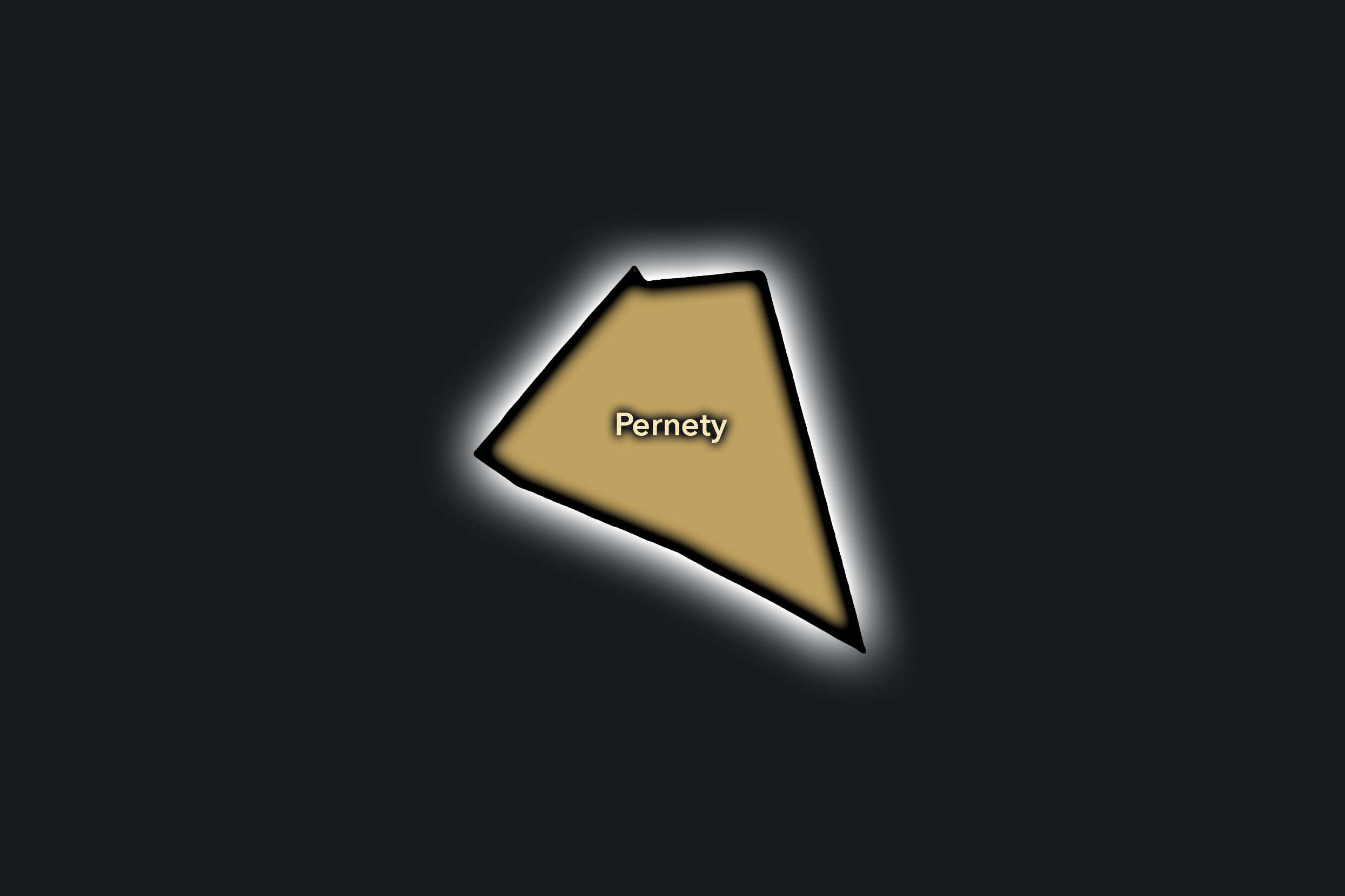
The Pernety Conseil de Quartier organizes one of the 14e’s most village-like residential districts, centered around Rue Raymond Losserand, Pernety, Plaisance-adjacent streets, small squares, local shops, schools, cafés, and the quieter fabric west of Montparnasse. As a civic territory, it captures a side of the arrondissement that is less monumental and less transit-dominated: a neighborhood of daily routes, apartment blocks, corner cafés, local commerce, and intimate streets that retain a strong sense of local identity.
On the ground, Pernety feels close-knit, residential, and quietly animated. Its public life is built around neighborhood shopping, schools, cafés, small restaurants, community spaces, and the steady movement between Montparnasse, Plaisance, and the southern 14e. Its civic themes center on residential quality of life, pedestrian comfort, school streets, greening, local commerce, traffic calming, and the preservation of a neighborhood atmosphere within a district bordered by larger station, boulevard, and edge conditions.
Pernety: At a Glance
A curated list for you.
-
Major Streets
Rue Raymond Losserand
Rue Pernety
Rue Didot
Rue des Plantes
Rue d’Alésia nearby
-
Public Spaces & Landmarks
Place Flora-Tristan
Square du Chanoine-Viollet
Église Notre-Dame-du-Travail nearby
Plaisance neighborhood edge
Montparnasse Cemetery nearby
-
Transit Access
Pernety
Plaisance nearby
Gaîté nearby
Alésia nearby
Montparnasse - Bienvenüe nearby
-
Shopping & Dining
Rue Raymond Losserand shops
Pernety neighborhood cafés
Bistrotters
L’Entrepôt nearby
Local bakeries and food shops around Pernety
-
Hotels & Attractions
Pernety village-like streets
Plaisance walking route nearby
Montparnasse Cemetery nearby
Southern Montparnasse access
L’Entrepôt cultural venue nearby
The Photography
Visual Identity

The visual identity of each Paris district begins with its position in the city’s layered geography. Before the photographs arrive, the maps establish a first way of seeing: where the district sits, what civic layer it belongs to, which boundaries define it, and how it connects to the surrounding fabric of Paris. In CityNeighborhoods Paris, cartography is not merely orientation; it is part of the visual language of the project.
As the photographic archive grows, this section will continue to develop through images gathered on foot. Streets, façades, monuments, markets, parks, river edges, passages, signs, textures, and everyday details will gradually reveal how each district presents itself visually. The goal is not only to show what a place looks like, but to trace how its identity becomes visible through form, atmosphere, memory, and use.
Through The Lens

CityNeighborhoods Paris is built from walking, looking, and returning. Each district is approached through photography as a way of paying attention: to the obvious landmarks and the quieter details, to historic structures and ordinary streets, to the moments where civic geography becomes lived experience. The camera becomes a tool for noticing how Paris changes from one district to the next, and how each place holds its own relationship to the larger city.
As photographs are processed and added, this section will become a more specific visual record of the district. Future updates may include dated field notes, galleries, and reflections from individual walks. For now, the page remains part of the larger CityNeighborhoods effort to document every Paris neighborhood through maps, history, identity, and photography — one district, one walk, and one visual encounter at a time.
If you visit Paris, these ideas can help inspire your own photography.


Paris: J’Espere, Je Rêve, Je Vive
Paris Photo Gallery
Paris Flâneur Notes
Flâneur Notes document the walks, photographs, light, and street-level observations behind this neighborhood entry. Learn more about the Spirit of the Flâneur.


Explore Paris
-

The twenty arrondissements form the civic spiral of Paris, organizing the city into its broad local districts of government, identity, and daily life.
-

Each arrondissement is divided into four official administrative quarters, giving Paris a more precise civic and geographic framework.
-

The conseils de quartier bring participation to street level, giving residents a voice in neighborhood needs, public space, and local civic life.
-

Les Deux Rives trace Paris through the Seine’s two banks, revealing how the Rive Droite and Rive Gauche shaped the city’s civic power, commerce, learning, art, and cultural identity.
-

Cultural neighborhoods reveal the Paris people recognize through history, cafés, architecture, memory, atmosphere, and local belonging.