
16e - PORTE-DAUPHINE
Quartiers Administratifs
Welcome to the Porte Dauphine neighborhood page! Porte Dauphine is a quartier administratif — an administrative quarter — one of 80 such districts across Paris. As a quartier administratif of the 16e Arrondissement - Passy, Porte Dauphine belongs to a formal layer of Parisian geography and is located around Avenue Foch, Porte Dauphine, and the approaches to the Bois de Boulogne. Porte-Dauphine reflects the grand scale and spacious planning of western Paris.
Part of an ongoing project to walk and photograph every neighborhood in Paris, this page explores 16e Porte-Dauphine through maps, district identity, history, and photography.


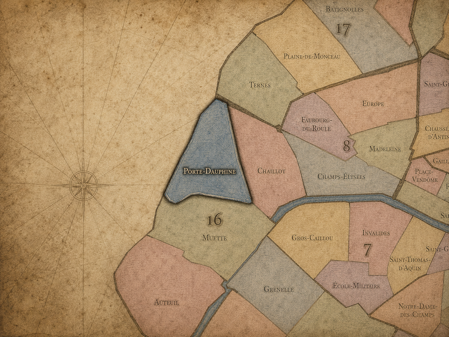
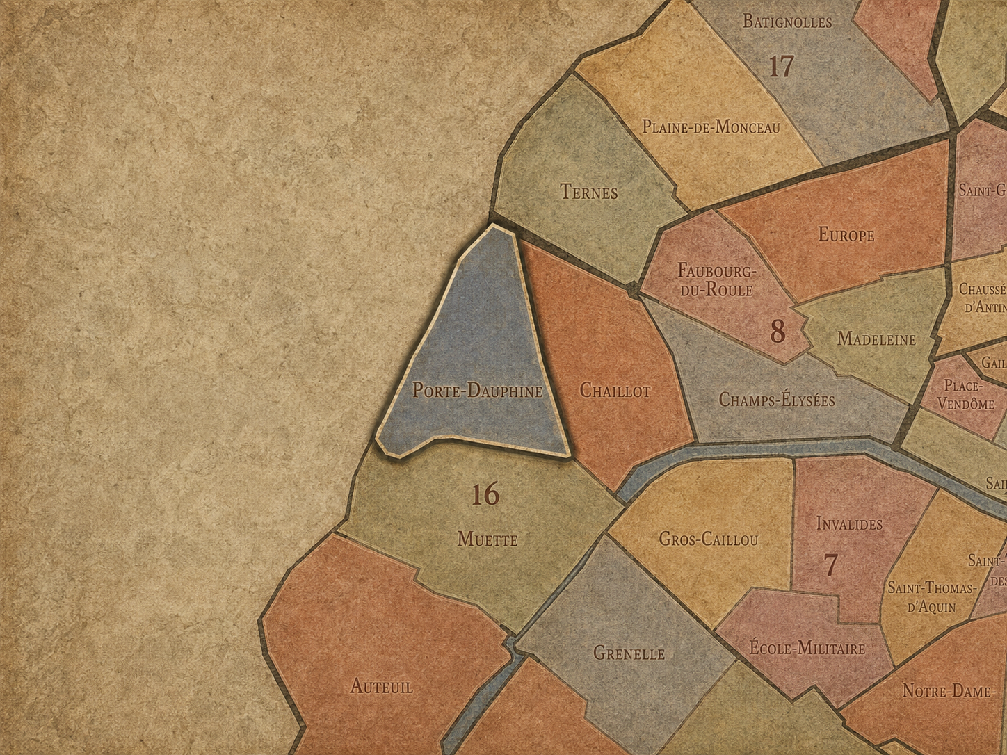
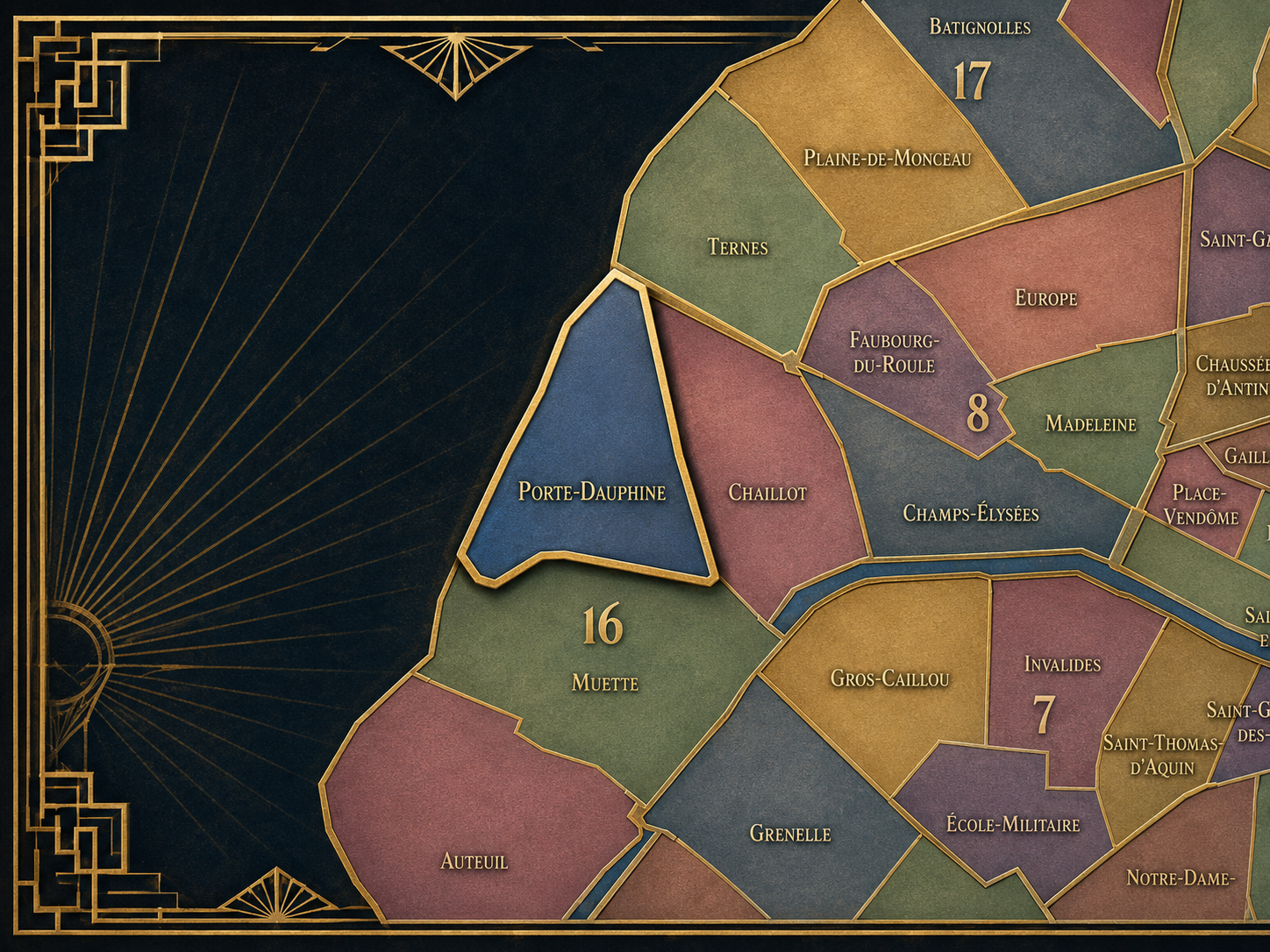
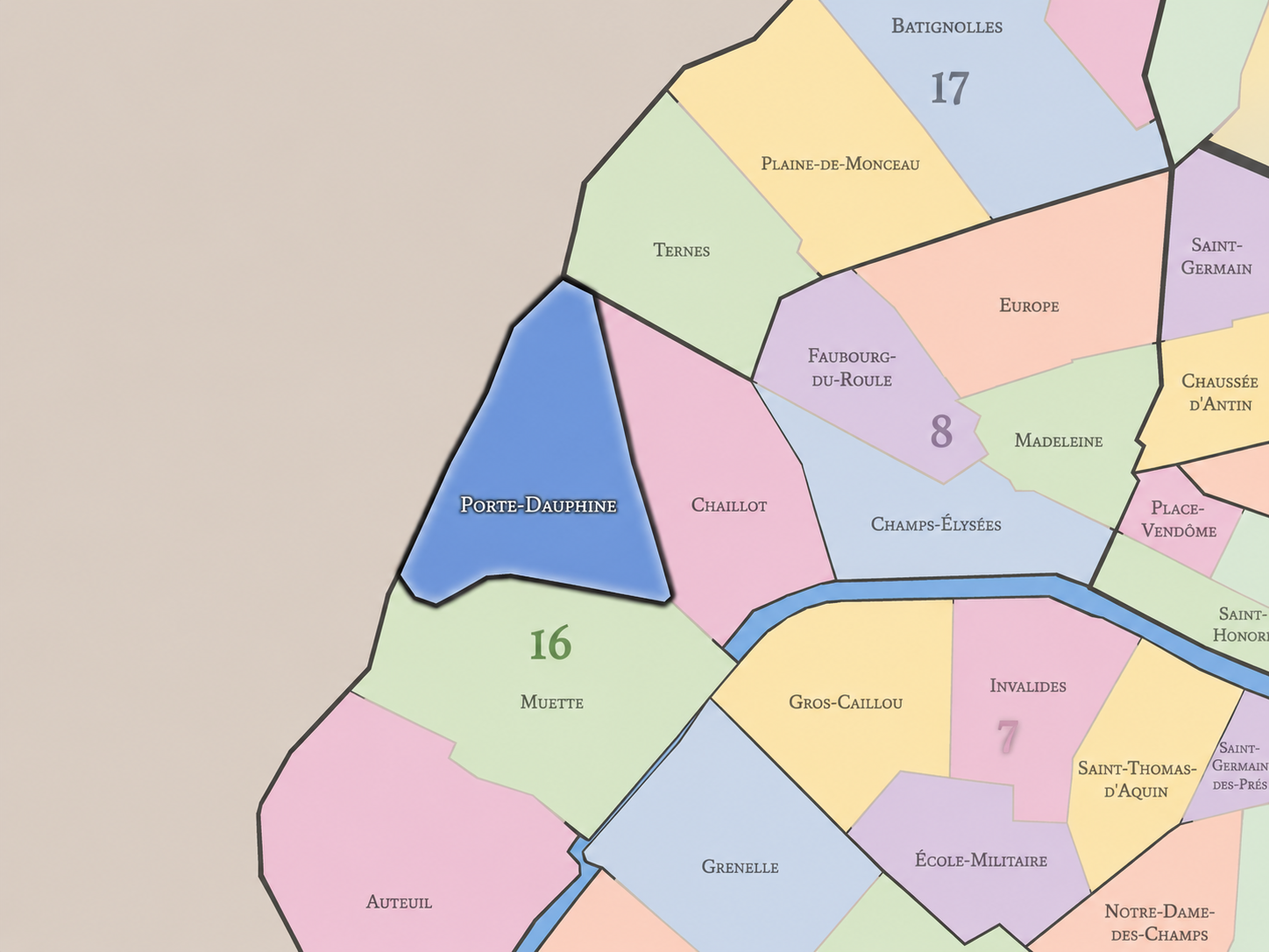
The Map
Geographic Setting
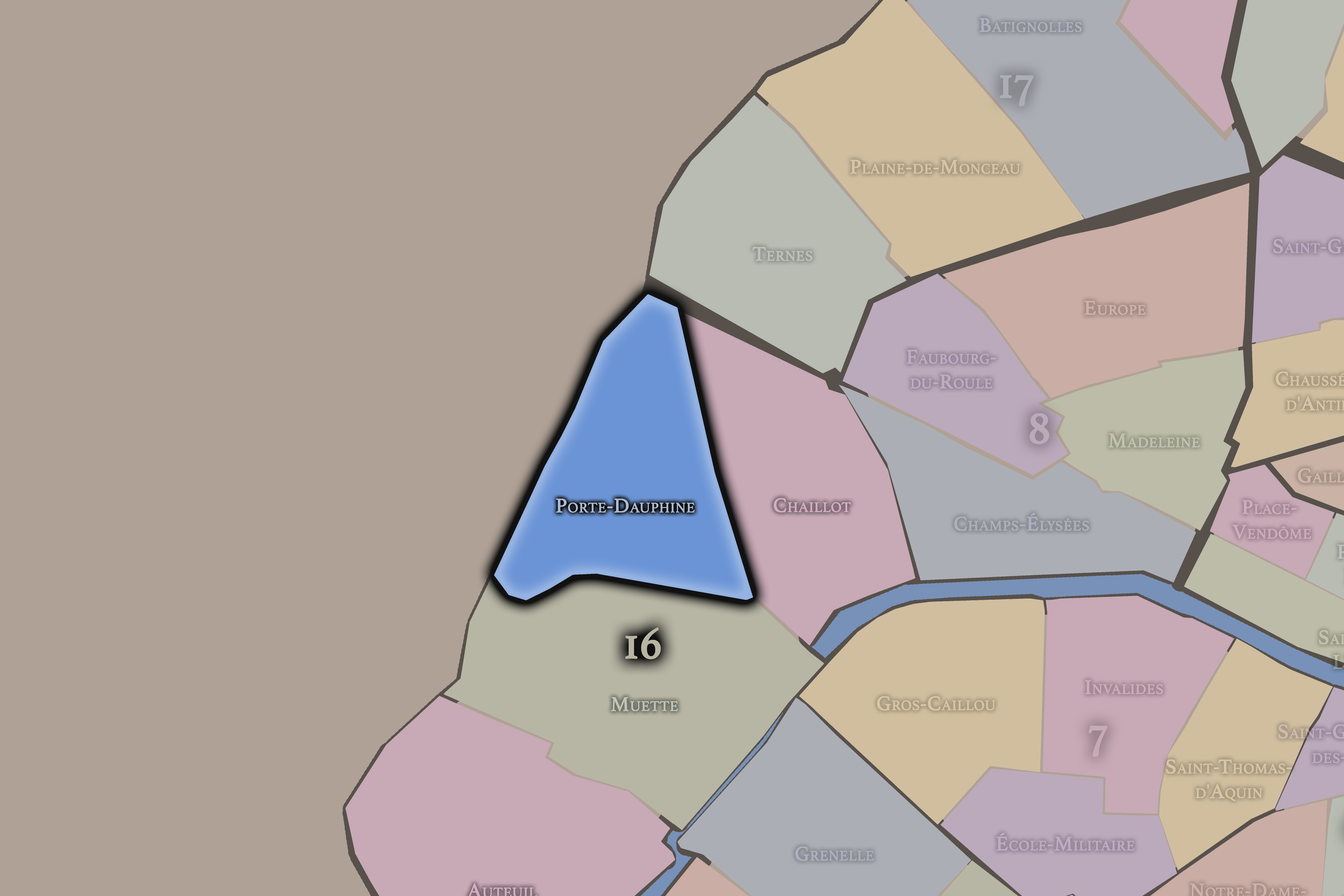
Porte-Dauphine occupies the northwestern portion of the 16th arrondissement, where Paris meets the Bois de Boulogne, Avenue Foch, the edge of Neuilly-sur-Seine, the university landscape around Paris Dauphine, and the broad residential avenues that carry western Paris toward its outer threshold. It lies north of La Muette, northwest of Chaillot, and northeast of Auteuil, forming the 16th arrondissement’s most northern and boundary-conscious quarter. This is a district shaped by grand approaches, wooded edges, embassies, villas, athletic grounds, institutional campuses, and the transition from Paris into the affluent western suburbs.
The quarter’s geography is strongly defined by Porte Dauphine itself, Avenue Foch, Boulevard Flandrin, Avenue Victor-Hugo, Avenue Henri-Martin, Avenue Bugeaud, Rue de la Faisanderie, Avenue de Malakoff, Boulevard Lannes, the Paris Dauphine campus, and the nearby entrances into the Bois de Boulogne. It contains some of the widest and most formal residential landscapes in the city, but also one of the strongest edge conditions: the point where the dense capital loosens toward parkland, ring-road, and Neuilly.
Unlike Chaillot, whose identity is monumental and outward-facing toward the Eiffel Tower view, or Auteuil, whose character is village-like, gardened, and southern, Porte-Dauphine is more threshold-oriented. It is the 16th arrondissement as western gate: elegant, spacious, institutional, green-edged, and shaped by the city’s movement toward the Bois, the périphérique, and the suburbs beyond.
Administrative Quarter Identity
Etymology and Origins
The name Porte-Dauphine comes from the historic western gate or entrance associated with the former fortifications of Paris and the road leading outward toward the Bois de Boulogne and Neuilly. “Porte” marks it as a threshold, while “Dauphine” refers to the Dauphin, the title traditionally given to the heir apparent to the French throne. The name therefore carries both urban and royal meaning: a city edge named through the language of monarchy.
This makes Porte-Dauphine different from older village names such as Auteuil, Passy, or Chaillot. It is not primarily a former village identity, though it lies within the broader landscape once shaped by those western settlements. Its name belongs to the geography of entrances, roads, walls, and ceremonial direction — the point at which Paris defined its own limit before opening toward the wooded west.
Over time, the name expanded from gate to administrative quarter. What was once a point of passage became a broader civic landscape of avenues, residences, institutions, and park edges. The name still preserves the memory of boundary, even though the modern quarter is now fully part of Paris. Porte-Dauphine is a former edge that became one of the capital’s most prestigious interiors.
Civic Framework
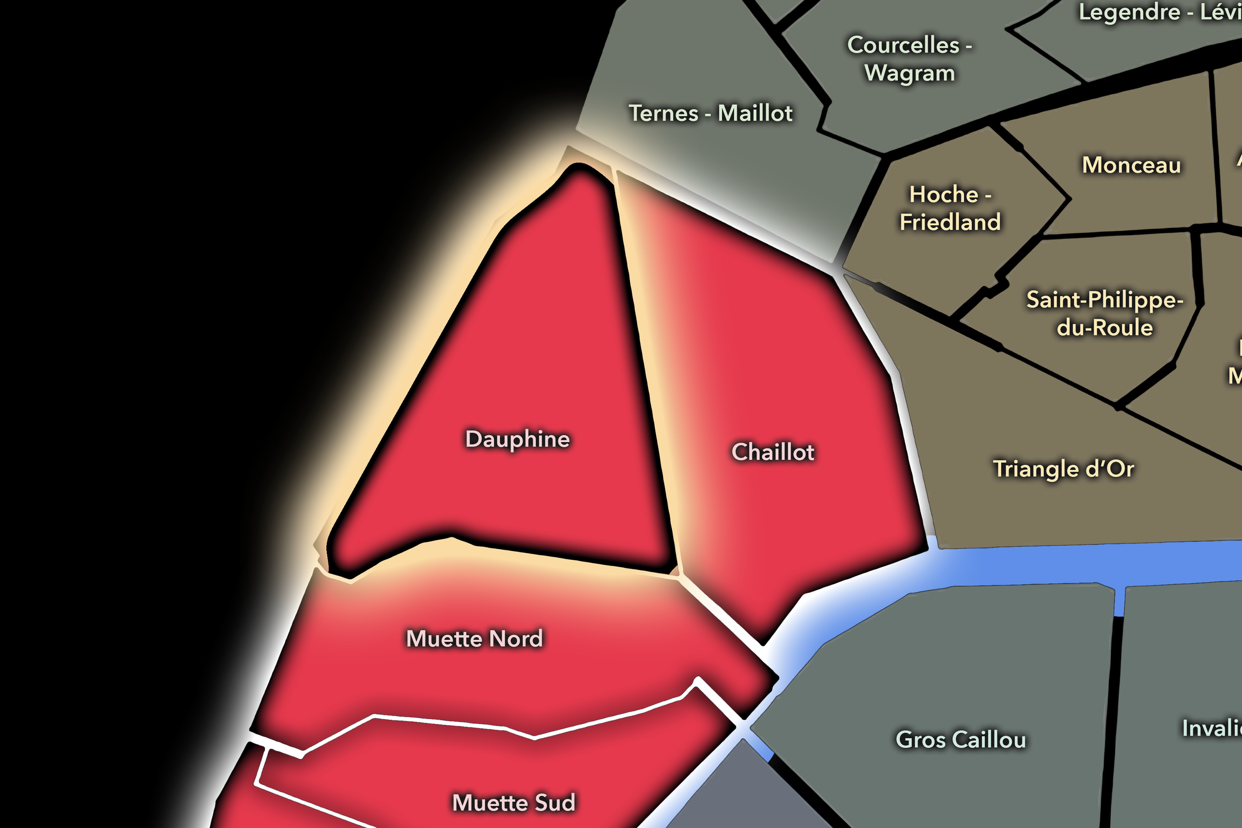
Within the official geography of Paris, Porte-Dauphine is one of the four administrative quarters of the 16th arrondissement, alongside Auteuil, La Muette, and Chaillot. It occupies the arrondissement’s northwestern sector, giving civic shape to the area around Avenue Foch, Porte Dauphine, Boulevard Flandrin, Paris Dauphine, and the northern edge of the Bois de Boulogne.
As an administrative quarter, Porte-Dauphine clarifies a district often described through more specific names: Avenue Foch, Flandrin, Dauphine, Victor-Hugo, Bois de Boulogne, Porte Maillot edge, or the western 16th. Those names remain useful, but each captures only part of the quarter. Porte-Dauphine is the official frame that gathers the grand avenue, the former city gate, the university, the residential streets, and the wooded edge into one mapped civic unit.
This civic frame is especially important because the quarter sits at the meeting point of several Parisian systems. It is residential and institutional, Parisian and suburban-facing, monumental in avenue scale but quiet in street life, connected to the Bois yet tied to the formal city. Porte-Dauphine shows how an administrative quarter can be defined by position as much as by a single landmark.
Neighborhood Distinction
Porte-Dauphine differs from the other quarters of the 16th arrondissement through its northern edge condition, its relationship to Avenue Foch, and its threshold toward Neuilly and the Bois de Boulogne. Chaillot is ceremonial and museum-rich, shaped by Trocadéro, Palais de Chaillot, embassies, and the Eiffel Tower view. La Muette is more residentially refined, tied to Passy, Ranelagh, the Château de la Muette, and the eastern edge of the Bois. Auteuil is more village-like and southern, associated with villas, gardens, sports, and a quieter former-commune identity.
Porte-Dauphine is more expansive and gate-like. Its identity depends on breadth: broad avenues, large apartment buildings, institutional grounds, embassies, park entrances, and the long green pull of the Bois. Avenue Foch gives the quarter one of Paris’s grandest residential axes, while Porte Dauphine and Porte Maillot mark the passage from the capital into the western metropolitan edge.
It should also be distinguished from Neuilly-sur-Seine. The two share an atmosphere of western affluence and broad residential order, but Porte-Dauphine remains inside Paris, with the symbolic weight of the arrondissement and the formal urbanity of the capital. Neuilly lies beyond the boundary; Porte-Dauphine is the Parisian threshold before that crossing.
Parisian Identity
Porte-Dauphine expresses Paris as a city of borders refined into prestige. It is one of the places where the former edge of the capital does not feel marginal, but privileged. The quarter’s identity is shaped by access to space: wide streets, proximity to the Bois, large residences, institutional grounds, and the ability to feel slightly removed from the city while remaining unmistakably within it.
This is Paris as threshold, but not the crowded popular threshold of the old faubourg gates. Porte-Dauphine is a western threshold — controlled, elegant, green, and residential. It does not carry the same dense street commerce as Porte Saint-Denis or Porte Saint-Martin, nor the industrial memory of Javel or Bercy. Its edge is one of status: the city loosening into avenues, lawns, embassies, campuses, and wooded horizons.
The quarter also reveals how Parisian identity can be shaped by movement outward. People pass through Porte-Dauphine toward the Bois, Neuilly, La Défense, the western suburbs, and the wider metropolitan region. Yet the district itself remains calm and composed, a place where transit and retreat sit side by side. Porte-Dauphine is Paris not as arrival into the center, but as departure from it.
Neighborhood Connections
Every neighborhood belongs to a wider Parisian fabric.
-
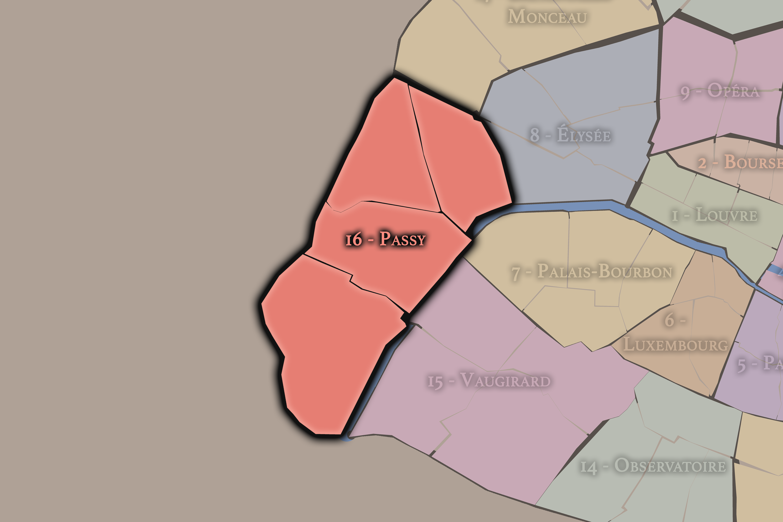
16e — Passy
-
Dauphine
-

Rive Droite
The History
Origins
The origins of Porte-Dauphine lie in the western outskirts of Paris, where the roads, woods, hunting landscapes, villages, and later fortifications defined the edge of the capital. Before the modern quarter took shape, this area belonged to the broader geography of Passy, Chaillot, and the Bois de Boulogne — a zone of open land, elite movement, country houses, wooded approaches, and gradual urban expansion.
The gate identity came later, with the city’s effort to define and control its boundaries. Paris’s western exits linked the capital to the Bois, Neuilly, and the routes beyond. This made the area important not because it was dense, but because it was transitional. It was one of the places where the city measured itself against the outside.
Porte-Dauphine’s origin story is therefore one of edge before neighborhood. The place began as boundary, approach, and outward route. Only later did it become a prestigious residential and institutional district. The name preserves that first condition: Paris at the gate.
16th–17th Century
In the 16th and 17th centuries, the future Porte-Dauphine quarter lay outside the dense urban body of Paris, within the western landscape associated with the Bois de Boulogne, Passy, Chaillot, Neuilly, and the roads beyond the capital. The area was shaped by woods, estates, hunting grounds, open land, and the movement of elites between city and countryside.
This western edge had a different character from the eastern faubourgs. It was less a working corridor of trades and dense settlement, and more a landscape of retreat, access, and controlled open space. The Bois and surrounding lands gave the area a sense of breadth that would remain central to the quarter’s later identity.
By the end of the 17th century, western Paris was becoming increasingly important through royal, aristocratic, and residential development. The future Porte-Dauphine area remained outside the center, but its proximity to the wooded west and to elite routes gave it a growing place in the social geography of the capital.
18th Century
In the 18th century, the western outskirts of Paris continued to develop as a landscape of residence, retreat, and approach. Villages such as Passy and Chaillot grew in importance, while the roads toward Neuilly and the Bois carried traffic between the capital and the western countryside. The future Porte-Dauphine quarter remained more edge than urban neighborhood, but that edge was increasingly desirable.
The area’s association with royal and elite movement gave it a social tone distinct from many other peripheral districts. The western side of Paris was becoming a place where air, space, gardens, and relative distance from the city’s crowded center could be converted into prestige. Porte-Dauphine’s later residential character has roots in this older western logic.
The Revolution disrupted aristocratic property and the symbolic order of the old regime, but it did not erase the value of the western edge. The land remained open, accessible, and strategically positioned. Its future development would unfold in the 19th century as Paris expanded, built fortifications, remade the Bois, and absorbed surrounding villages into the capital.
19th Century
The 19th century gave Porte-Dauphine its modern Parisian framework. The annexation of western villages into Paris in 1860 created the modern 16th arrondissement, bringing the surrounding landscapes of Auteuil, Passy, and Chaillot into the capital. At the same time, the transformation of the Bois de Boulogne under Napoleon III and the creation or extension of broad western avenues helped define the district’s prestige.
Avenue Foch, originally developed as Avenue de l’Impératrice, became one of the grandest avenues in Paris. Its enormous width, planted promenades, and prestigious residences gave the quarter a monumental residential axis unlike the dense commercial streets of central Paris. Porte-Dauphine’s identity as a spacious, affluent western district was strongly shaped by this Second Empire and post-Second Empire urbanism.
The century also reinforced the gate identity through the fortifications and the formal entrances into Paris. Porte Dauphine marked a western threshold, while the surrounding streets developed into a refined residential landscape. The former edge of the city became a place where boundary and prestige supported one another.
Early–Mid 20th Century
In the early and mid 20th century, Porte-Dauphine became one of the classic landscapes of affluent western Paris. Avenue Foch and the surrounding streets attracted wealthy residents, embassies, institutions, and elegant apartment buildings. The quarter’s proximity to the Bois de Boulogne gave it access to recreation, air, and open space, while its address within Paris gave it symbolic capital.
The district also became increasingly institutional. Schools, diplomatic residences, clubs, and later the academic landscape associated with the Dauphine site contributed to an atmosphere of controlled public purpose within a largely residential quarter. The neighborhood was not simply private wealth; it also became part of the educational, diplomatic, and social infrastructure of the western city.
During the wars, occupation, liberation, and postwar years, the quarter’s elite residences and strategic western location gave it a complex history. Grand houses and avenues in western Paris often carried stories of occupation, requisition, diplomacy, resistance, collaboration, and postwar restitution. Porte-Dauphine’s calm urban surface should not obscure the intensity of the 20th century passing through it.
Late 20th Century
In the late 20th century, Porte-Dauphine retained its residential prestige while gaining a stronger academic identity through Paris Dauphine. The university, located near the Porte Dauphine edge, added student life, research, economics, management, mathematics, and institutional energy to a quarter otherwise often perceived through wealth and quiet residence. This gave the district a more complex social rhythm than its broad avenues alone might suggest.
Avenue Foch remained one of the symbolic addresses of high-status Paris, but the quarter also faced the pressures of modern metropolitan life: traffic at the western gates, proximity to the périphérique, the changing role of the Bois, office and institutional use, and the constant tension between residential calm and urban circulation.
The late 20th century also sharpened the contrast between Porte-Dauphine as inner Paris and the western business axis beyond. La Défense, Neuilly, Porte Maillot, and the outer western suburbs became increasingly important to the metropolitan economy. Porte-Dauphine stood as a Parisian threshold to that larger western urban system — not the business district itself, but one of the elegant gates before it.
21st Century
In the 21st century, Porte-Dauphine remains one of the most refined and boundary-conscious quarters of Paris. It is shaped by prestigious residences, embassies, schools, the Paris Dauphine campus, Avenue Foch, the Bois de Boulogne, and the movement between Paris, Neuilly, and the western metropolitan corridor. Its atmosphere is quiet and controlled, yet its position is highly strategic.
Today, the quarter’s identity depends on contrasts. It is affluent but not overtly touristic. It is green-edged but still urban. It is institutional but not dominated by a single monument. It is a gate, but not in the old popular faubourg sense. Its boundary is softened by wealth, space, and trees, rather than intensified by dense street commerce.
For CityNeighborhoods: Paris, Porte-Dauphine is essential because it shows how an administrative quarter can preserve the geography of the city’s edge even after the edge has shifted. The old gate is no longer a hard boundary, but the quarter still behaves like a threshold. It reveals Paris as a city that does not simply end, but transitions — into park, suburb, avenue, campus, and metropolitan west.
Spirit and Legacy
Porte-Dauphine is the quarter where Paris approaches the wooded west. Its spirit is spacious, formal, green-edged, and quietly transitional. It belongs to Avenue Foch and the Bois de Boulogne, to university halls and embassy façades, to the old gate and the road beyond, to the moment when the city loosens toward Neuilly and the western horizon.
Its legacy is the refinement of boundary. What began as outer land and road became a gate; what was once a gate became a prestigious quarter; what was once the city’s edge became one of its most carefully composed residential landscapes. Porte-Dauphine keeps the memory of crossing while turning that crossing into address.
To walk Porte-Dauphine is to encounter Paris in the act of yielding space. The quarter does not press inward like the old center or crowd outward like the popular faubourgs. It opens — toward trees, avenues, institutions, and the western suburbs beyond. In Porte-Dauphine, neighborhood identity becomes threshold: Paris held at its edge, elegant and composed, just before it becomes something else.
The Photography
Visual Identity

The visual identity of each Paris district begins with its position in the city’s layered geography. Before the photographs arrive, the maps establish a first way of seeing: where the district sits, what civic layer it belongs to, which boundaries define it, and how it connects to the surrounding fabric of Paris. In CityNeighborhoods Paris, cartography is not merely orientation; it is part of the visual language of the project.
As the photographic archive grows, this section will continue to develop through images gathered on foot. Streets, façades, monuments, markets, parks, river edges, passages, signs, textures, and everyday details will gradually reveal how each district presents itself visually. The goal is not only to show what a place looks like, but to trace how its identity becomes visible through form, atmosphere, memory, and use.
Through The Lens

CityNeighborhoods Paris is built from walking, looking, and returning. Each district is approached through photography as a way of paying attention: to the obvious landmarks and the quieter details, to historic structures and ordinary streets, to the moments where civic geography becomes lived experience. The camera becomes a tool for noticing how Paris changes from one district to the next, and how each place holds its own relationship to the larger city.
As photographs are processed and added, this section will become a more specific visual record of the district. Future updates may include dated field notes, galleries, and reflections from individual walks. For now, the page remains part of the larger CityNeighborhoods effort to document every Paris neighborhood through maps, history, identity, and photography — one district, one walk, and one visual encounter at a time.
If you visit Paris, these ideas can help inspire your own photography.


Paris: J’Espere, Je Rêve, Je Vive
Paris Photo Gallery
Paris Flâneur Notes
Flâneur Notes document the walks, photographs, light, and street-level observations behind this neighborhood entry. Learn more about the Spirit of the Flâneur.


Explore Paris
-

The twenty arrondissements form the civic spiral of Paris, organizing the city into its broad local districts of government, identity, and daily life.
-

Each arrondissement is divided into four official administrative quarters, giving Paris a more precise civic and geographic framework.
-

The conseils de quartier bring participation to street level, giving residents a voice in neighborhood needs, public space, and local civic life.
-

Les Deux Rives trace Paris through the Seine’s two banks, revealing how the Rive Droite and Rive Gauche shaped the city’s civic power, commerce, learning, art, and cultural identity.
-

Cultural neighborhoods reveal the Paris people recognize through history, cafés, architecture, memory, atmosphere, and local belonging.