
14e - PETIT-MONTROUGE
Quartiers Administratifs
Welcome to the Petit-Montrouge neighborhood page! Petit-Montrouge is a quartier administratif — an administrative quarter — one of 80 such districts across Paris. As a quartier administratif of the 14e Arrondissement - Observatoire, Petit-Montrouge belongs to a formal layer of Parisian geography and preserves the memory of a village absorbed into Paris, with Alésia, Avenue du Général Leclerc, parish landmarks, markets, and residential streets marking the city’s southern expansion.
Part of an ongoing project to walk and photograph every neighborhood in Paris, this page explores 14e Petit-Montrouge through maps, district identity, history, and photography.


The Map
Geographic Setting
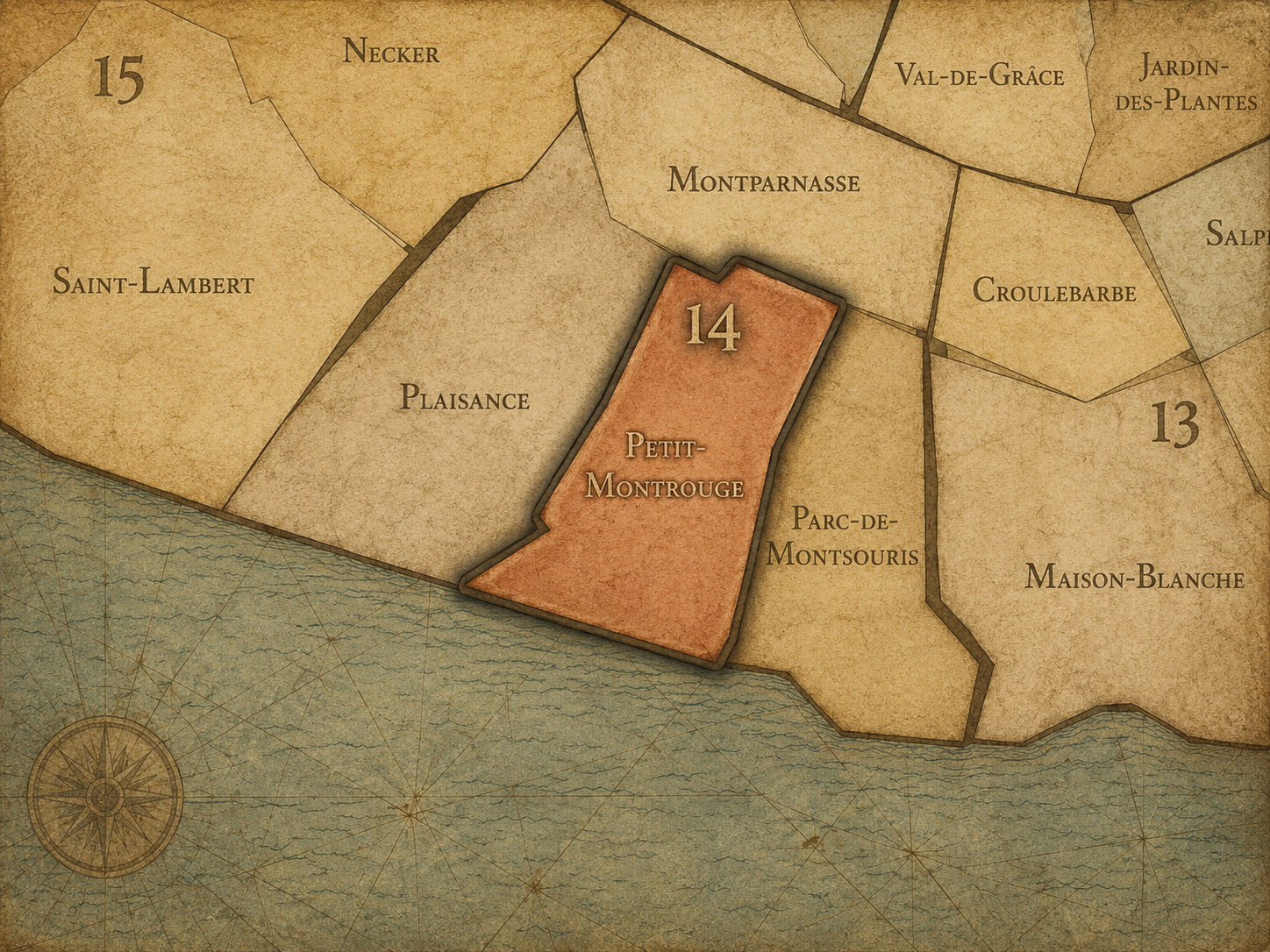
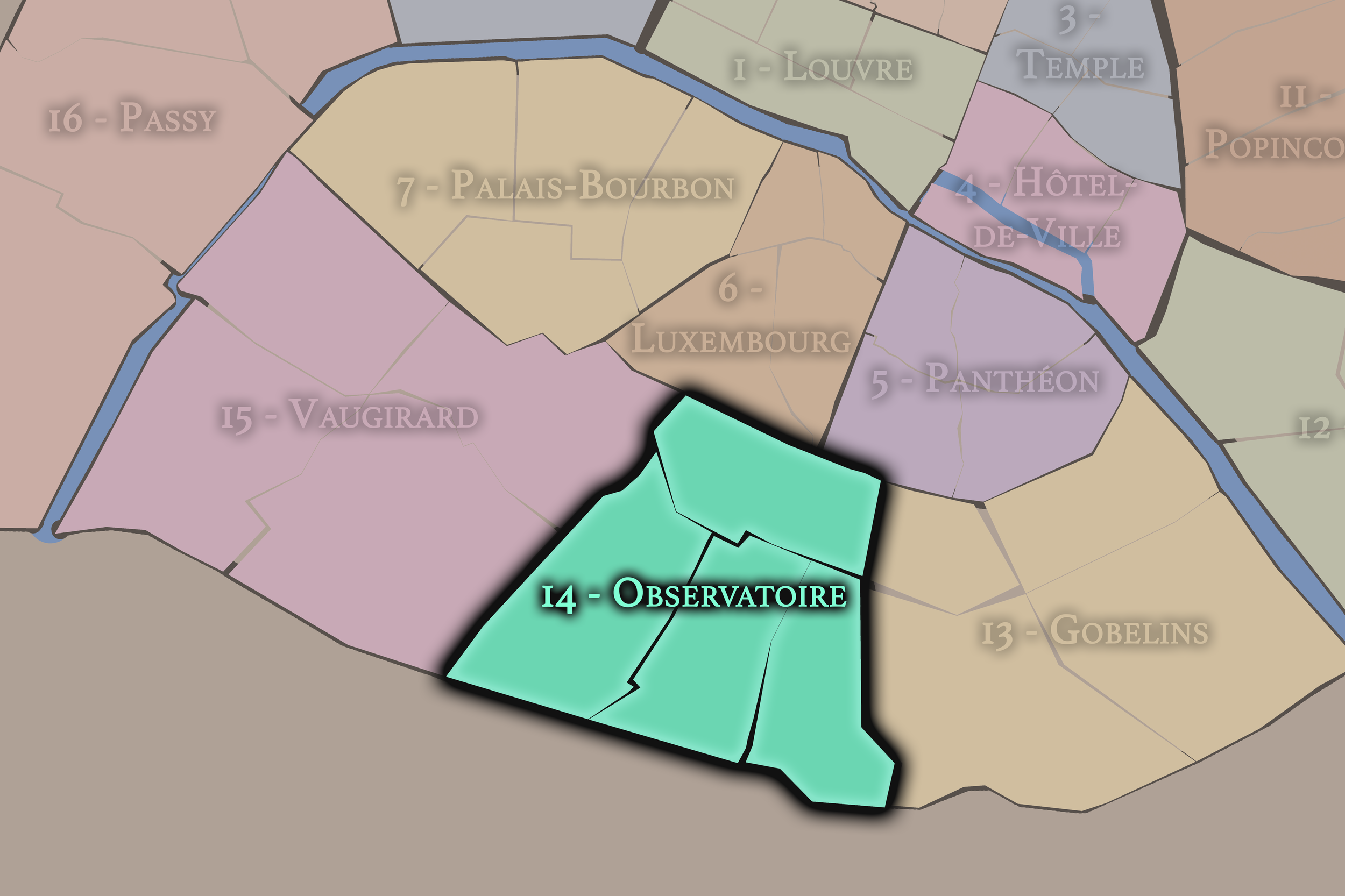
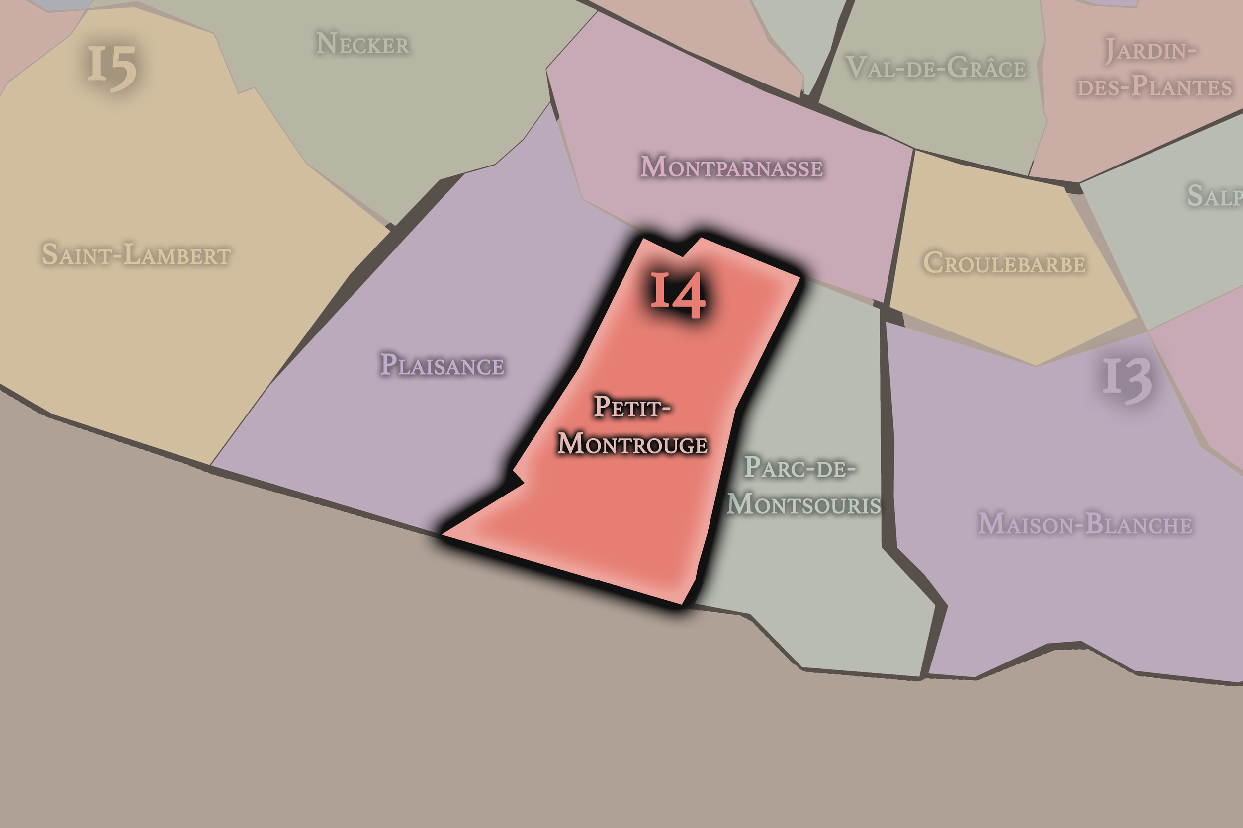
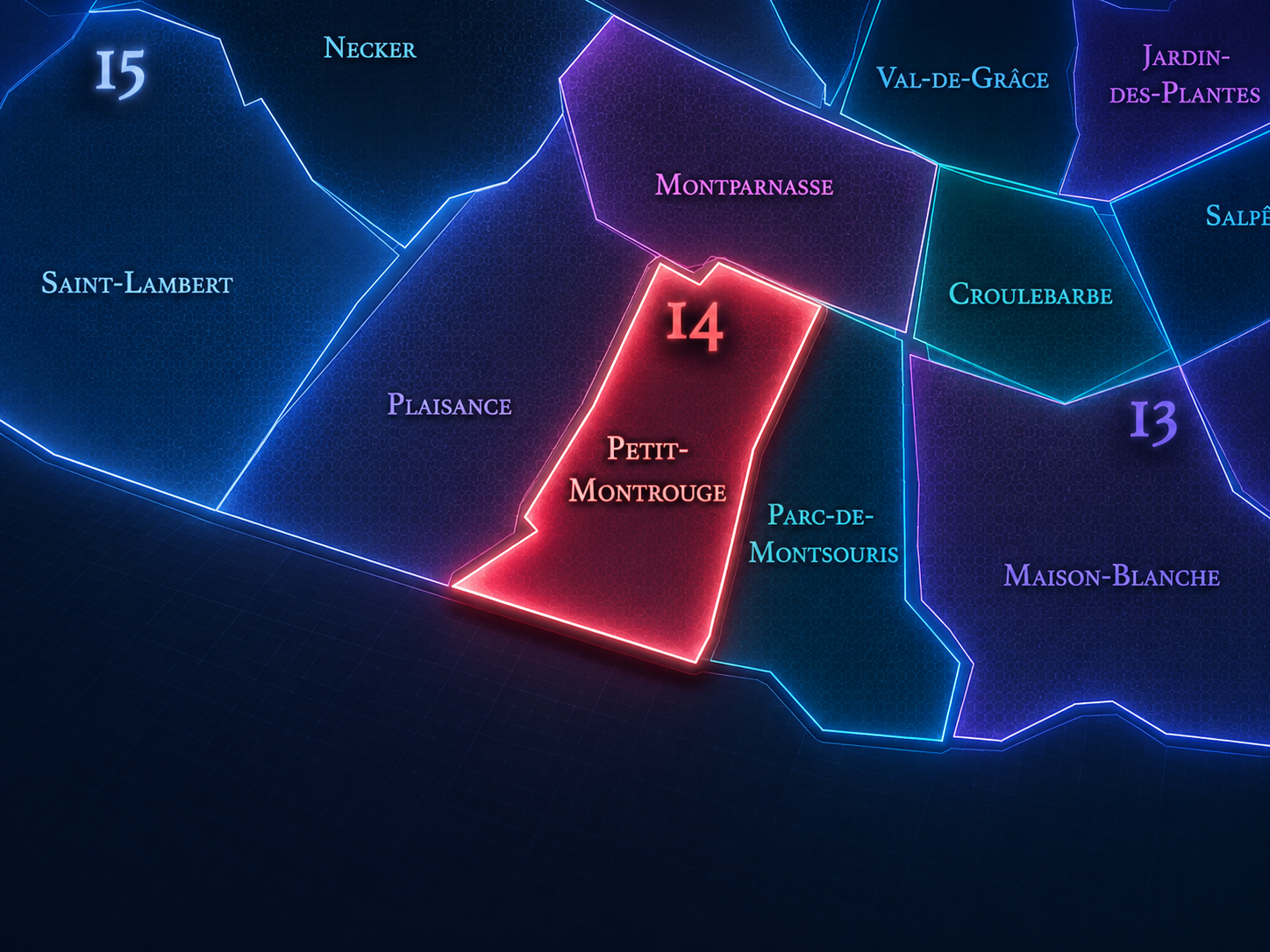
Petit-Montrouge occupies the south-central portion of the 14th arrondissement, where the older southern approaches to Paris gather around Alésia, Avenue du Général-Leclerc, Rue d’Alésia, Avenue du Maine, and the residential streets between Montparnasse, Plaisance, Parc-de-Montsouris, and the city’s boundary with Montrouge. It lies south of Montparnasse, east of Plaisance, west of Parc-de-Montsouris, and north of the modern commune of Montrouge, giving it one of the clearest “former edge absorbed into Paris” identities in the arrondissement.
The quarter’s most visible center is the Alésia crossroads, where Avenue du Général-Leclerc, Rue d’Alésia, Avenue du Maine, and surrounding streets gather around the Église Saint-Pierre de Montrouge. This intersection gives the area one of its strongest lived names: many Parisians refer to the district as Alésia, even though Alésia and Petit-Montrouge are not identical layers. District references identify Petit-Montrouge as the 55th administrative quarter of Paris and explain that it became part of the capital when the 14th arrondissement was created in 1860.
Unlike Montparnasse, whose identity is cultural, café-centered, artistic, and station-driven, or Parc-de-Montsouris, whose character is shaped by green space, reservoirs, university residences, and the southern edge, Petit-Montrouge is more parish-centered and residential. It is the 14th arrondissement as everyday southern Paris: apartment buildings, shopping streets, schools, churches, transit, local markets, and the continuing memory of a former commune divided by the expansion of the capital.
Administrative Quarter Identity
Etymology and Origins

The name Petit-Montrouge means “Little Montrouge,” distinguishing the Parisian portion of the former Montrouge landscape from Grand-Montrouge, which corresponds broadly to the modern commune of Montrouge just south of Paris. Before 1860, Montrouge was a separate commune whose northern part was annexed to Paris; that annexed portion became Petit-Montrouge within the newly created 14th arrondissement.
The name is therefore explicitly relational. Petit-Montrouge is not merely a small neighborhood with a charming diminutive; it is the Parisian remnant of a larger local geography divided by the city’s expansion. “Petit” marks not inferiority, but transformation: the portion of Montrouge that crossed into Paris when the boundary moved.
This makes the quarter one of the clearest examples of how Paris absorbed neighboring places while preserving their names. The modern visitor may think first of Alésia, but the administrative name Petit-Montrouge keeps the older territorial story visible. It reminds us that Paris did not simply grow over empty land. It incorporated existing communes, identities, roads, churches, and local communities into the map of the capital.
Civic Framework
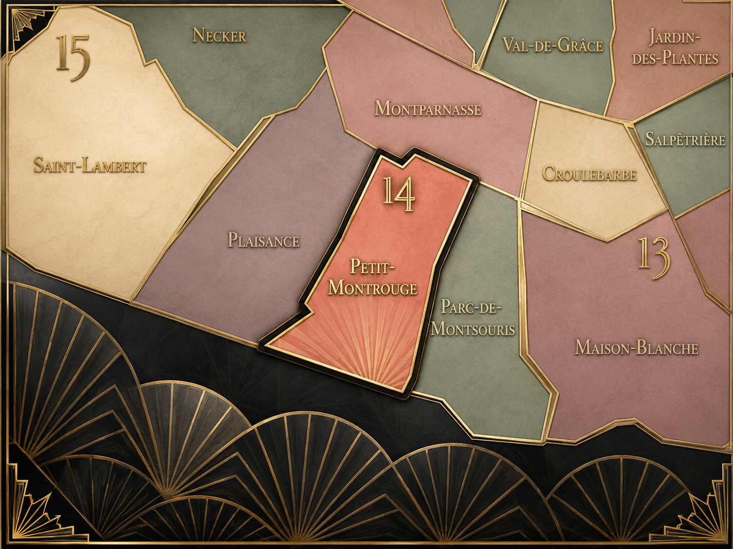
Within the official geography of Paris, Petit-Montrouge is one of the four administrative quarters of the 14th arrondissement, alongside Montparnasse, Parc-de-Montsouris, and Plaisance. It occupies the arrondissement’s southern-central sector and gives civic shape to the Parisian side of the former Montrouge landscape. The quarter was created with the 14th arrondissement in 1860, when Paris annexed part of the commune of Montrouge.
As an administrative quarter, Petit-Montrouge clarifies a district often described through other names: Alésia, Porte d’Orléans, Avenue du Général-Leclerc, Mairie du 14e, or the southern 14th. Those names are useful, but each captures only one piece of the quarter. Petit-Montrouge is the official civic frame that holds the parish, the crossroads, the shopping streets, the former commune identity, and the residential fabric together.
This frame is especially important because the quarter sits at the boundary between Paris and suburb, though it no longer feels peripheral in the same way it once did. Its name keeps the city’s annexation history alive. Petit-Montrouge is Parisian, but it is Parisian through incorporation — a former outside made interior.
Neighborhood Distinction
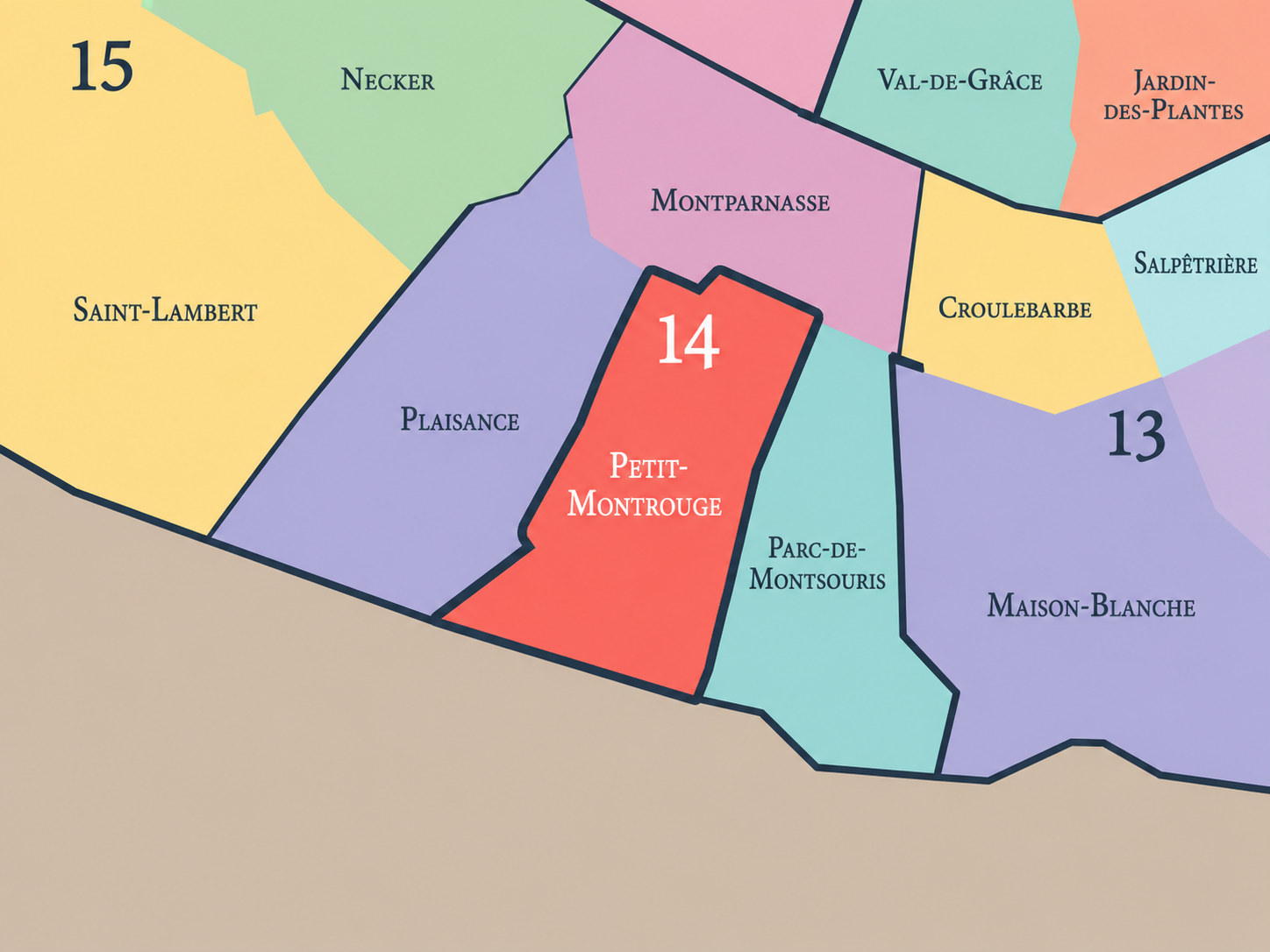
Petit-Montrouge differs from the other quarters of the 14th arrondissement through its relationship to the former commune of Montrouge, its strong Alésia center, and its southern residential-parish identity. Montparnasse is the quarter of cafés, studios, cemeteries, rail, theater, and artistic mythology. Parc-de-Montsouris is greener and more institutional, shaped by the park, Cité Universitaire, reservoirs, and the southern edge. Plaisance is more closely tied to working-class residential development, the former village and subdivision landscapes south of Montparnasse, and the western side of the 14th.
Petit-Montrouge is more civic and centered. Its identity gathers around Saint-Pierre de Montrouge, the Alésia crossroads, Avenue du Général-Leclerc, local commerce, schools, apartment streets, and the mairie / municipal life of the arrondissement. The Église Saint-Pierre de Montrouge, built beginning in 1863, occupies a triangular site at one of the quarter’s major intersections and was part of the 19th-century restructuring of the newly annexed southern district.
It should also be distinguished from Alésia. Alésia is one of the strongest everyday names in the area, connected to Rue d’Alésia and the metro station, but it does not exactly match the administrative quarter. Petit-Montrouge is the official layer; Alésia is a lived and transit-oriented layer within it. That distinction helps reveal the layered structure of Parisian neighborhood identity.
Parisian Identity
Petit-Montrouge expresses Paris as a city made by annexation and adaptation. It is not the old medieval Paris of the islands and Right Bank, nor the royal west, nor the literary Left Bank. It is Paris as expanded city — the capital that absorbed surrounding communes in 1860 and then remade them through churches, boulevards, schools, apartment buildings, transit, and administrative life.
The quarter’s Parisian identity is grounded in everyday urban continuity. It is not a district that depends on one great tourist monument. Its meaning comes from the life of a southern Paris neighborhood: shopping along Avenue du Général-Leclerc, crossings at Alésia, residential streets, church façades, school gates, local cafés, metro entrances, and the dense routine of people living within a once-peripheral landscape now fully woven into the city.
This gives Petit-Montrouge a quieter but essential role in the 14th arrondissement. It shows how Paris becomes Paris not only through spectacle, but through integration. A former part of Montrouge was given new civic form, but it did not lose its older name. The quarter carries both the city’s authority and the memory of what stood just beyond it.
Neighborhood Connections
Every neighborhood belongs to a wider Parisian fabric.
-
14e — Observatoire
-
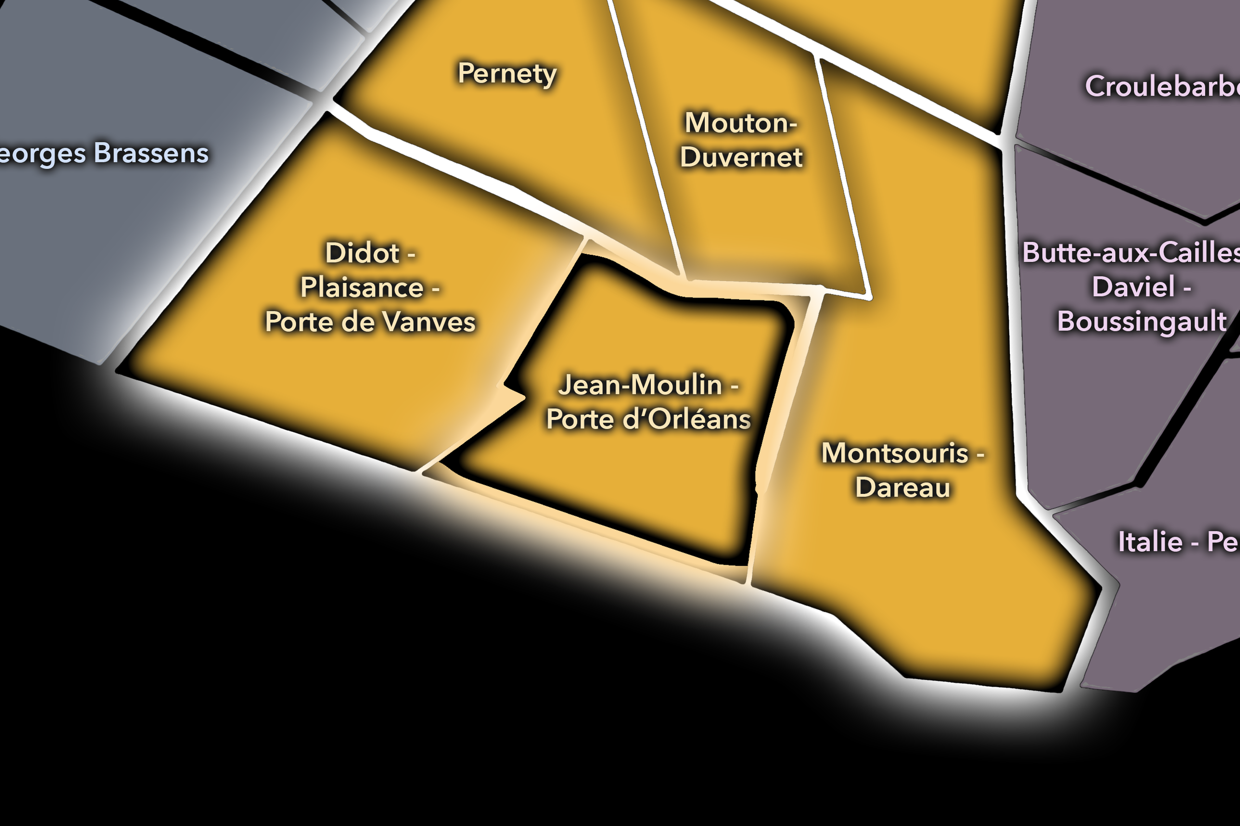
Jean-Moulin - Porte d’Orléans
-
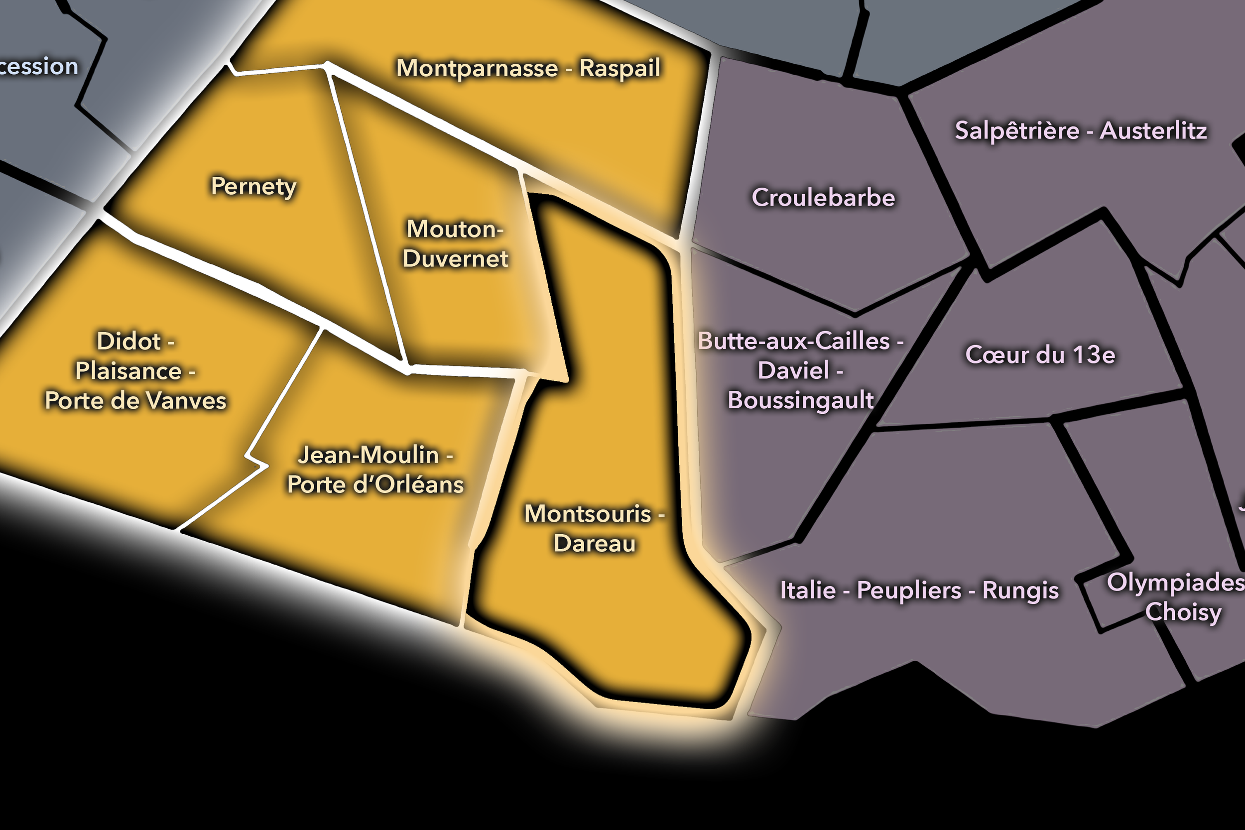
Montsouris - Dareau
-
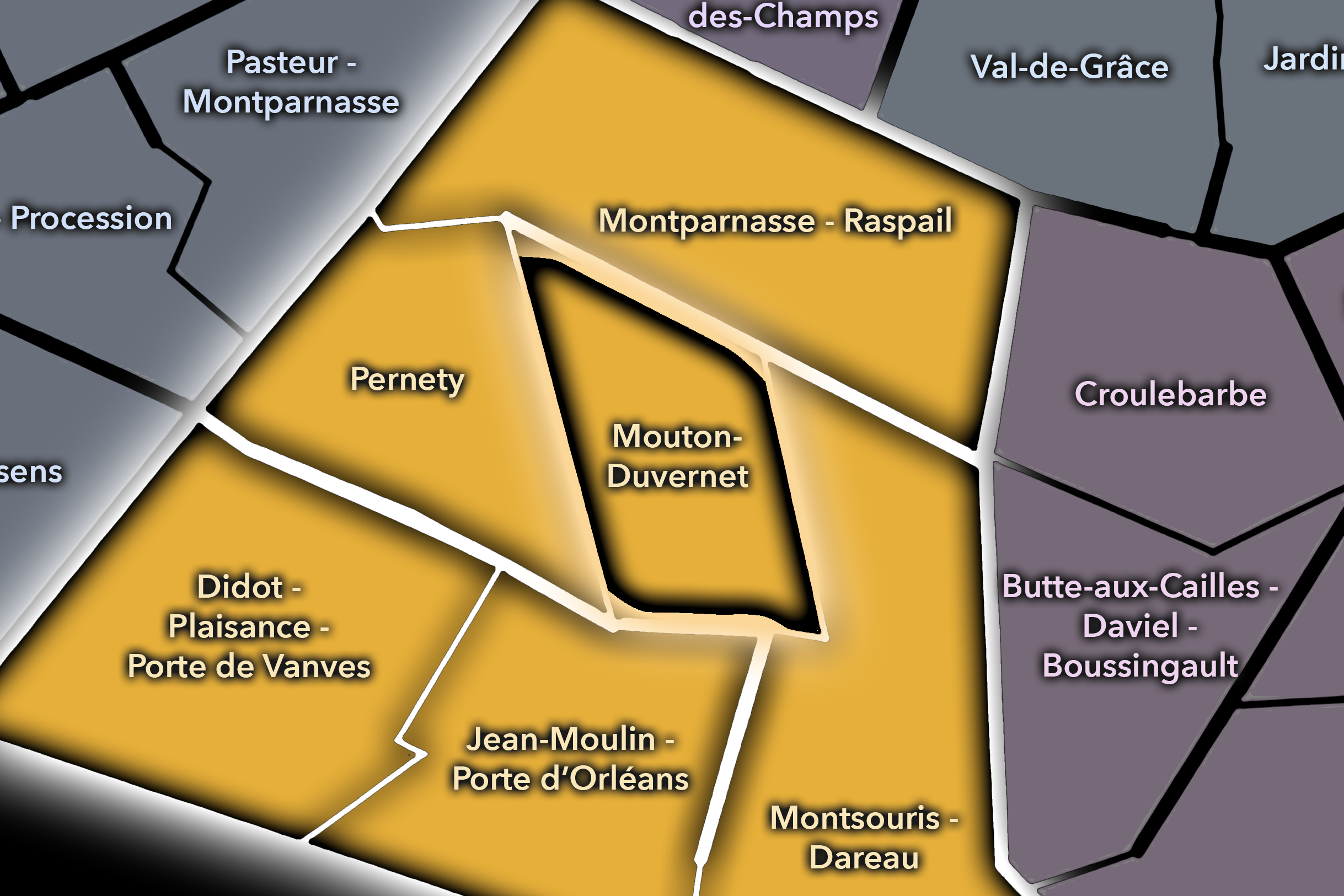
Mouton-Duvernet
-
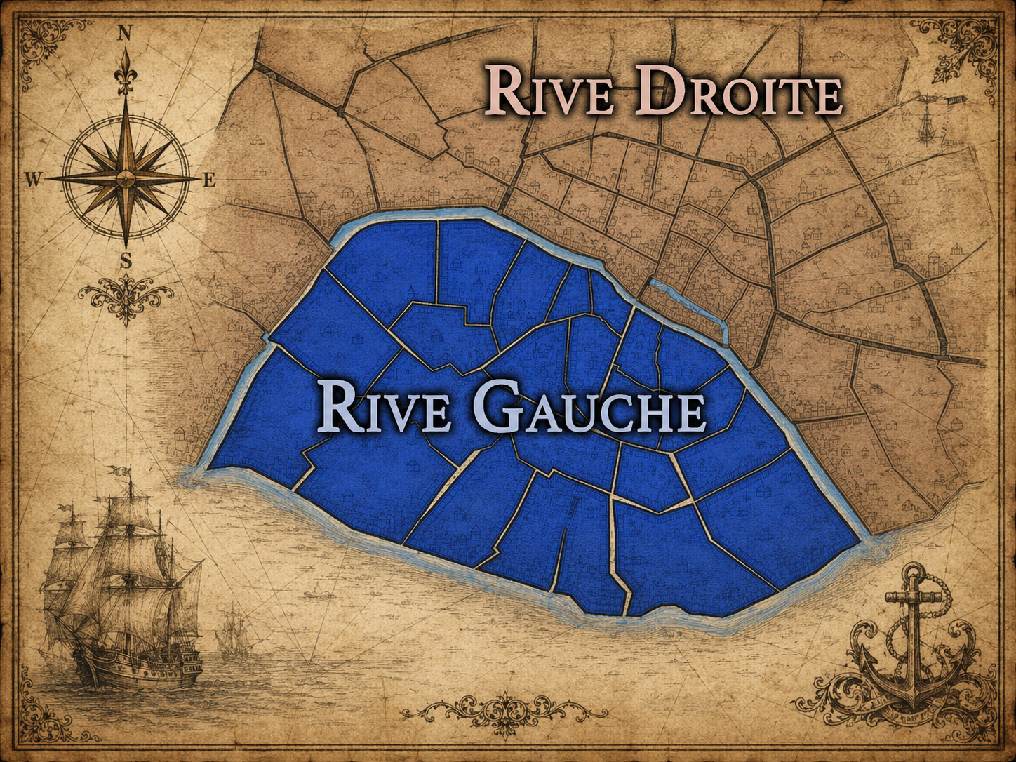
Rive Gauche
The History
Origins
The origins of Petit-Montrouge lie in the former commune of Montrouge, south of the older Parisian boundary. Before its annexation, this area belonged to a landscape of roads, fields, quarries, gardens, houses, and local settlement outside the capital. It was close to Paris, shaped by its growth, but not yet part of the official city.
The name Montrouge itself has older roots, often associated with a “red mount” or reddish ground, though the precise historical explanation belongs to the broader commune rather than to the Parisian quarter alone. Petit-Montrouge, as a later distinction, emerged from the division between the portion annexed to Paris and the portion that remained the independent commune of Montrouge.
Its origin is therefore inseparable from boundary change. The quarter was made by an administrative act, but not from nothing. Existing roads, settlement patterns, parish needs, local commerce, and southern approaches were folded into Paris and given the structure of a new arrondissement quarter. Petit-Montrouge began as a place already alive before Paris formally claimed it.
16th–17th Century
In the 16th and 17th centuries, the future Petit-Montrouge quarter lay beyond the dense urban core of Paris, within the southern outer landscape connected to Montrouge, Gentilly, Vanves, and the roads leading toward Orléans and the south. The area was shaped by agriculture, quarries, scattered houses, religious lands, and the practical geography of the capital’s outskirts.
This southern edge did not yet carry the dense residential identity it would later acquire. It belonged to the useful fringe: land that supplied, surrounded, and connected Paris without being absorbed into its central fabric. Its distance from the old city allowed different scales of property, road movement, and local life to persist longer than in the inner districts.
By the end of the 17th century, Parisian pressure was increasingly felt in the surrounding communes, but the future Petit-Montrouge still remained outside the capital. Its later story would depend on this long condition of nearness without incorporation — close enough to be shaped by Paris, but distinct enough to carry its own local name into the city.
18th Century
In the 18th century, Montrouge and its northern portion continued to develop as part of the southern outskirts of Paris. Roads toward Orléans, local settlements, quarrying activity, gardens, and houses connected the area more closely to the capital, while still preserving its identity beyond the city boundary. The future Petit-Montrouge was increasingly suburban in the older sense: outside Paris, but economically and socially tied to it.
The area’s proximity to the city made it part of the broader story of Parisian expansion. As the capital grew, its outskirts became more densely inhabited and more closely integrated into urban life. Places like Montrouge were no longer remote villages; they were part of a ring of settlements affected by the needs, traffic, and population pressure of Paris.
The French Revolution and later administrative changes reorganized the relationship between Paris and its surrounding communes, but Petit-Montrouge’s decisive incorporation would come in the 19th century. In the 18th century, it remained a threshold landscape: not yet Paris, but increasingly inseparable from Paris’s growth.
19th Century
The 19th century created Petit-Montrouge as a Parisian administrative quarter. In 1860, Paris expanded by annexing surrounding territories, and the northern part of Montrouge was incorporated into the capital to form part of the new 14th arrondissement. Sources describing the quarter consistently identify this annexation as the moment when Petit-Montrouge became a Parisian district.
After annexation, the quarter was rapidly structured through new civic and parish landmarks. The Église Saint-Pierre de Montrouge began construction in 1863 and became the visual and symbolic center of the district around the Alésia crossroads. Designed in the context of the Haussmann-era transformation of Paris, the church helped give the newly annexed quarter a formal urban anchor.
The 19th century also gave Petit-Montrouge much of its residential form. Streets were regularized, apartment buildings rose, local commerce expanded, and the former suburban landscape became part of modern Paris. Yet the quarter retained traces of its pre-annexation fabric, including lower faubourg-like buildings and older street patterns in places — reminders that Paris did not erase the former outside all at once.
Early–Mid 20th Century
In the early and mid 20th century, Petit-Montrouge consolidated its identity as a residential and commercial quarter of southern Paris. Alésia became a major local reference point, Avenue du Général-Leclerc and surrounding streets supported shopping and transit, and the district developed the everyday civic life of schools, churches, markets, cafés, apartment buildings, and local institutions.
The quarter’s southern location gave it a practical neighborhood character. It was not dominated by the artistic mythology of Montparnasse, though nearby Montparnasse influenced the broader arrondissement. Nor was it defined by a single park or institution like Parc-de-Montsouris. Petit-Montrouge became a stable, inhabited, middle-density part of the 14th — fully Parisian, but still carrying the memory of the former commune.
During war, occupation, liberation, and postwar recovery, the quarter shared the experiences of residential Paris: scarcity, continuity, local solidarity, rebuilding, and the return of everyday routines. Its history in this period is written less in famous monuments than in the persistence of ordinary urban life at the southern edge of the capital.
Late 20th Century
In the late 20th century, Petit-Montrouge remained one of the 14th arrondissement’s central residential quarters, increasingly valued for its local commerce, transit access, and balance between city life and neighborhood stability. Alésia continued to function as a strong local center, while the surrounding streets retained a mixture of apartment buildings, shops, schools, parish life, and everyday services.
The quarter also participated in the broader transformation of southern Paris. Improved transit, changing retail patterns, rising property values, and the growing appeal of the 14th arrondissement reshaped the district. Petit-Montrouge did not become as mythologized as Montparnasse or as explicitly green-branded as Parc-de-Montsouris, but its livability became one of its defining strengths.
At the same time, the history of annexation and former commune identity remained important, even if not always visible. The continuing distinction between Paris’s Petit-Montrouge and the neighboring commune of Montrouge kept the old boundary story alive. The quarter’s name remained a quiet reminder that the city and suburb once met differently here.
21st Century
In the 21st century, Petit-Montrouge remains one of the most lived-in and locally coherent quarters of the 14th arrondissement. Its identity is shaped by Alésia, Saint-Pierre de Montrouge, Avenue du Général-Leclerc, Rue d’Alésia, residential streets, local businesses, schools, cafés, and the strong connections southward toward Montrouge and northward toward Montparnasse. It is central to everyday life in the arrondissement, even if it rarely carries the global recognition of more famous Parisian districts.
Today, the quarter’s value lies in its balance. It is urban without being overwhelmingly touristic, connected without losing local routine, historic without being museum-like, and Parisian while still acknowledging its older Montrouge origin. The continued use of Alésia as a local shorthand adds another layer, showing how official, historical, and lived names coexist in the same place.
For CityNeighborhoods: Paris, Petit-Montrouge is essential because it demonstrates how administrative quarters can reveal the mechanics of Parisian expansion. This is not just a neighborhood within Paris; it is a record of Paris becoming larger. The quarter explains annexation not as an abstract policy, but as a lived geography of streets, churches, commerce, boundaries, and names.
Spirit and Legacy
Petit-Montrouge is the quarter where southern Paris remembers the former outside. Its spirit is residential, civic, and quietly rooted. It belongs to Alésia’s crossings and Saint-Pierre’s church front, to local shops and apartment streets, to the old road south and the modern edge of Paris, to a name that still speaks of Montrouge even from within the capital.
Its legacy is the transformation of suburb into city. Part of a neighboring commune became a Parisian quarter. A former outer landscape became a local center. Roads became avenues, parish needs became monumental church architecture, and a boundary became a neighborhood seam rather than a hard edge. Petit-Montrouge keeps that transformation visible in its name.
To walk Petit-Montrouge is to encounter Paris as incorporation and continuity. The quarter does not need spectacle to matter. It matters because it shows how the city absorbs, adapts, and remembers. In Petit-Montrouge, neighborhood identity is civic inheritance — the life of a former Montrouge landscape continuing as one of the everyday centers of the 14th arrondissement.
The Photography
Visual Identity

The visual identity of each Paris district begins with its position in the city’s layered geography. Before the photographs arrive, the maps establish a first way of seeing: where the district sits, what civic layer it belongs to, which boundaries define it, and how it connects to the surrounding fabric of Paris. In CityNeighborhoods Paris, cartography is not merely orientation; it is part of the visual language of the project.
As the photographic archive grows, this section will continue to develop through images gathered on foot. Streets, façades, monuments, markets, parks, river edges, passages, signs, textures, and everyday details will gradually reveal how each district presents itself visually. The goal is not only to show what a place looks like, but to trace how its identity becomes visible through form, atmosphere, memory, and use.
Through The Lens

CityNeighborhoods Paris is built from walking, looking, and returning. Each district is approached through photography as a way of paying attention: to the obvious landmarks and the quieter details, to historic structures and ordinary streets, to the moments where civic geography becomes lived experience. The camera becomes a tool for noticing how Paris changes from one district to the next, and how each place holds its own relationship to the larger city.
As photographs are processed and added, this section will become a more specific visual record of the district. Future updates may include dated field notes, galleries, and reflections from individual walks. For now, the page remains part of the larger CityNeighborhoods effort to document every Paris neighborhood through maps, history, identity, and photography — one district, one walk, and one visual encounter at a time.
If you visit Paris, these ideas can help inspire your own photography.


Paris: J’Espere, Je Rêve, Je Vive
Paris Photo Gallery
Paris Flâneur Notes
Flâneur Notes document the walks, photographs, light, and street-level observations behind this neighborhood entry. Learn more about the Spirit of the Flâneur.


Explore Paris
-

The twenty arrondissements form the civic spiral of Paris, organizing the city into its broad local districts of government, identity, and daily life.
-

Each arrondissement is divided into four official administrative quarters, giving Paris a more precise civic and geographic framework.
-

The conseils de quartier bring participation to street level, giving residents a voice in neighborhood needs, public space, and local civic life.
-

Les Deux Rives trace Paris through the Seine’s two banks, revealing how the Rive Droite and Rive Gauche shaped the city’s civic power, commerce, learning, art, and cultural identity.
-

Cultural neighborhoods reveal the Paris people recognize through history, cafés, architecture, memory, atmosphere, and local belonging.