
3e - SAINTE-AVOYE
Quartiers Administratifs
Welcome to the Sainte-Avoye neighborhood page! Sainte-Avoye is a quartier administratif — an administrative quarter — one of 80 such districts across Paris. As a quartier administratif of the 3e Arrondissement - Temple, Sainte-Avoye belongs to a formal layer of Parisian geography and is where the Marais meets the commercial streets around Réaumur and Beaubourg. Sainte-Avoye combines medieval traces, former religious institutions, galleries, and the urban pressure of central Paris.
Part of an ongoing project to walk and photograph every neighborhood in Paris, this page explores 3e Sainte-Avoye through maps, district identity, history, and photography.


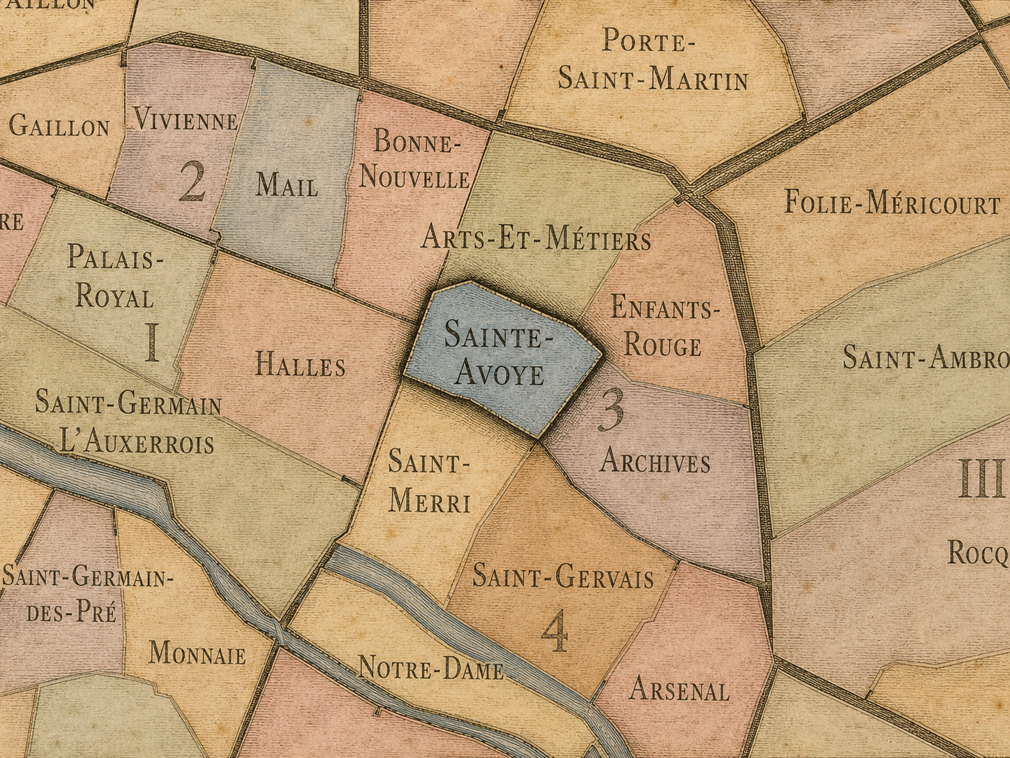
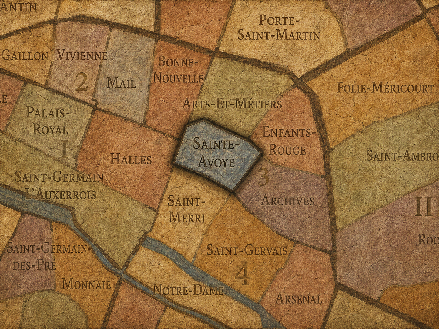
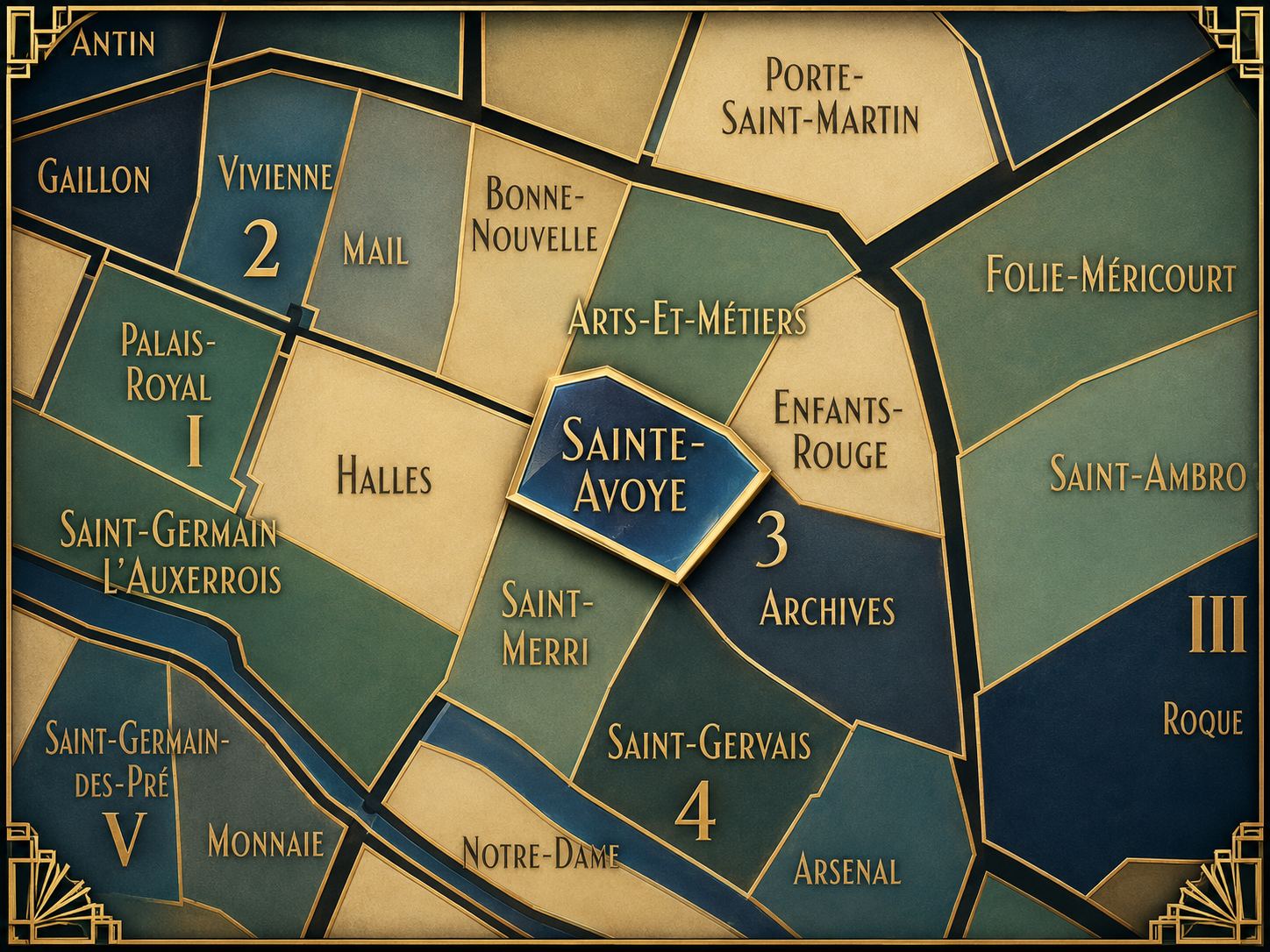
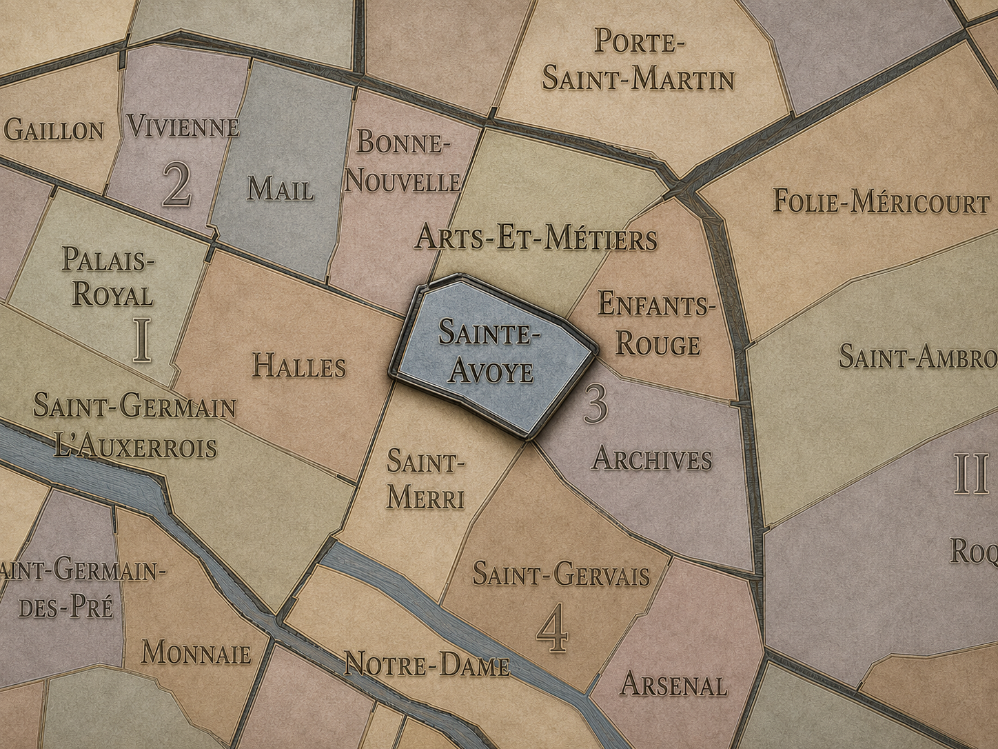
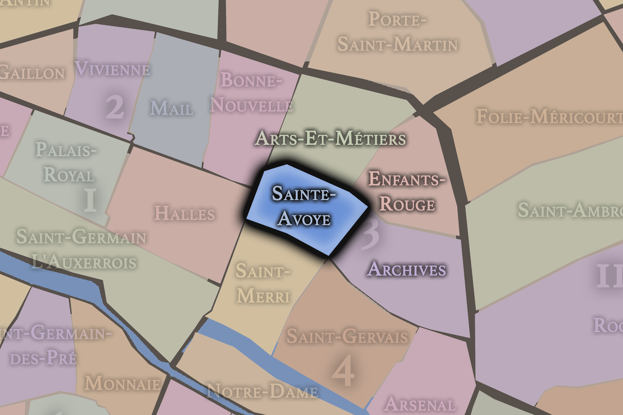
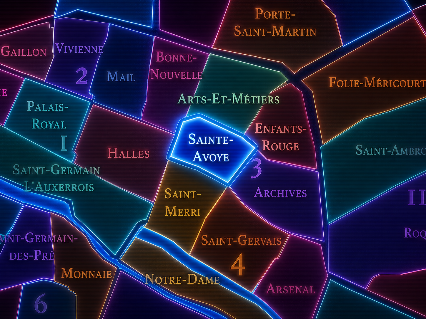
The Map
Geographic Setting
Sainte-Avoye occupies the southeastern portion of the 3rd arrondissement, where the older commercial fabric of central Paris meets the southern Marais, Beaubourg, Arts-et-Métiers, and the historic routes leading toward Hôtel de Ville and the former Temple lands. It sits below Archives, east of Arts-et-Métiers, north of Saint-Merri and Saint-Gervais in the 4th arrondissement, and west of the denser Marais streets that gather around Rue Vieille-du-Temple and Rue des Archives. Compact, central, and deeply layered, Sainte-Avoye is one of the quarters where the medieval and early modern Right Bank still feels close to the surface.
Its geography is shaped by streets of transition: Rue du Temple, Rue des Archives, Rue Beaubourg, Rue Rambuteau, Rue Michel-le-Comte, Rue Chapon, Rue Pastourelle, Rue du Grenier-Saint-Lazare, and the smaller passages and courtyards that stitch the quarter into the northern edge of the historic center. Unlike Enfants-Rouges, whose identity is strongly animated by market life, or Archives, whose name points toward national memory, Sainte-Avoye feels more hidden. It is a quarter of dense street grain, inherited names, old religious memory, workshops, galleries, residences, and the shifting edge between the Marais and the older commercial city.
This is not a quarter of grand spectacle. Its identity is quieter and more connective, held in the pattern of streets and the survival of older urban textures. Sainte-Avoye belongs to the Paris of thresholds — between Marais and Beaubourg, between medieval street and modern cultural district, between the former Temple world and the older Right Bank core.
Administrative Quarter Identity
Etymology and Origins
The name Sainte-Avoye preserves a religious memory connected to Saint Avoye, traditionally associated with Saint Avia or Hedwig depending on the historical source and local tradition. The spelling is part of the story. The administrative quarter is commonly rendered Sainte-Avoye, while nearby street references preserve Sainte-Avoie, especially in the name Passage Sainte-Avoie, which is itself sometimes described with both forms. Rather than treating this as an error, it is better understood as one of those Parisian spelling survivals where older orthographies, local street names, religious memory, and administrative standardization coexist.
That makes Sainte-Avoye different from the better-known names surrounding it. Arts-et-Métiers announces invention and technical knowledge. Archives announces preservation. Enfants-Rouges announces a vivid human story tied to charity and market life. Sainte-Avoye is more elusive. Its name points to a vanished religious geography, a memory of devotion, convent life, and local dedication that has been absorbed into the dense secular fabric of central Paris.
The name’s variant spellings deepen the quarter’s character. Sainte-Avoye belongs to the official administrative geography; Sainte-Avoie lingers in street-name and historical contexts. Together, they reveal how Paris often preserves the past imperfectly but meaningfully — not as a single fixed label, but as a small archive of usage, memory, and place.
Civic Framework
Within the official geography of Paris, Sainte-Avoye is one of the four administrative quarters of the 3rd arrondissement, alongside Arts-et-Métiers, Enfants-Rouges, and Archives. It forms the arrondissement’s southeastern quarter, placing it near the boundary with the 4th arrondissement and within the wider civic structure now governed as part of Paris Centre.
As an administrative quarter, Sainte-Avoye gives formal shape to an area that might otherwise be described only through broader or adjacent identities: the Marais, Beaubourg, Arts-et-Métiers, Rue du Temple, Rue des Archives, or the historic center. The official name helps identify a specific piece of the 3rd arrondissement’s southern fabric, distinct from the market-centered north, the archival southwest, and the technical northwest.
Its civic role is especially useful because Sainte-Avoye sits in a zone of overlap. Cultural names and walking patterns can blur quickly here. A visitor may feel they are in the Marais, near Beaubourg, approaching the Centre Pompidou, or moving through the old Temple corridor. The administrative quarter clarifies the map without flattening that complexity. It says: this is one named part of the larger system, even when the lived city spills beyond the line.
Neighborhood Distinction
Sainte-Avoye differs from the other quarters of the 3rd arrondissement through its older, denser, and more transitional character. Arts-et-Métiers is defined by technical knowledge, invention, and the Conservatoire. Enfants-Rouges gathers market life, food culture, cafés, and the sociable atmosphere of the northern Marais. Archives is anchored by national memory, historic mansions, and the institutional presence of the Archives nationales.
Sainte-Avoye is less easily summarized, and that is precisely its distinction. It is not dominated by one grand institution or one iconic market. Its identity comes from its position within the older urban mesh: religious memory, former workshops, Marais streets, Beaubourg adjacency, galleries, small businesses, residences, and the traces of central Paris before the city’s identities were neatly packaged for cultural consumption.
It should also be distinguished from the Marais as a whole. Sainte-Avoye participates in the Marais, but it is not the whole Marais. It lacks the grand aristocratic concentration of Archives and parts of the 4th arrondissement, and it lacks the market-centered social image of Enfants-Rouges. Instead, it gives the Marais one of its more compact and transitional expressions — a quarter of edges, seams, and older streets that connect more famous places to one another.
Parisian Identity
Sainte-Avoye expresses Paris as a city of survivals. Not every quarter announces its meaning through a monumental landmark or a celebrated cultural myth. Some neighborhoods reveal themselves through what remains embedded: a street name, a spelling variant, a former religious dedication, a building line, a courtyard, a workshop trace, a gallery window, a sudden medieval bend beneath a modern city.
This gives Sainte-Avoye a particularly Parisian subtlety. It is central, but not obvious. Historic, but not always labeled as such. It belongs to the Marais, yet it also touches the more infrastructural and contemporary landscape around Beaubourg. It is both old and adaptable, a place where the city’s deep past sits beside present-day commerce, culture, design, and daily residence.
The quarter’s identity is not theatrical like Palais-Royal, not ceremonial like Place-Vendôme, not market-driven like Halles or Enfants-Rouges. It is more connective and granular. Sainte-Avoye is the Paris of narrow streets doing quiet work — holding together names, routes, memories, and uses that make the historic center feel alive rather than merely preserved.
Neighborhood Connections
Every neighborhood belongs to a wider Parisian fabric.
-
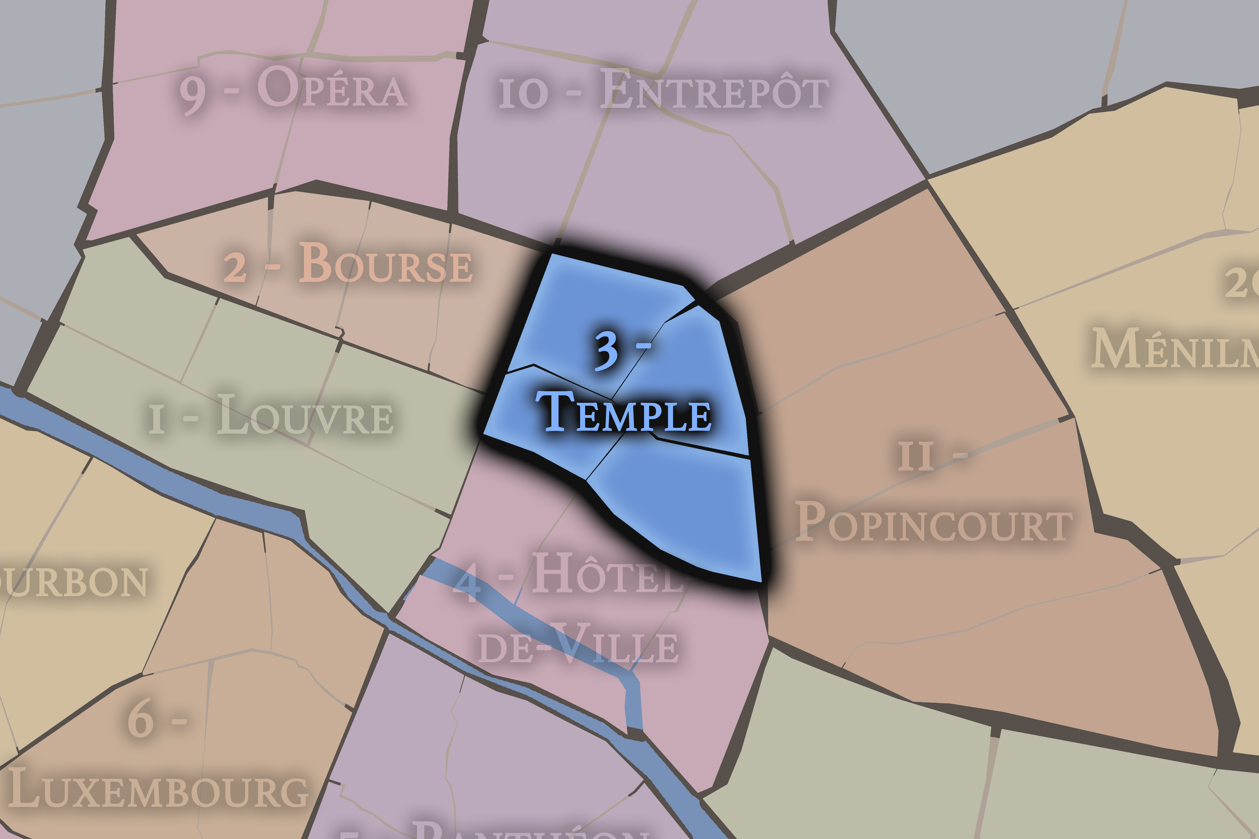
3e — Temple
-
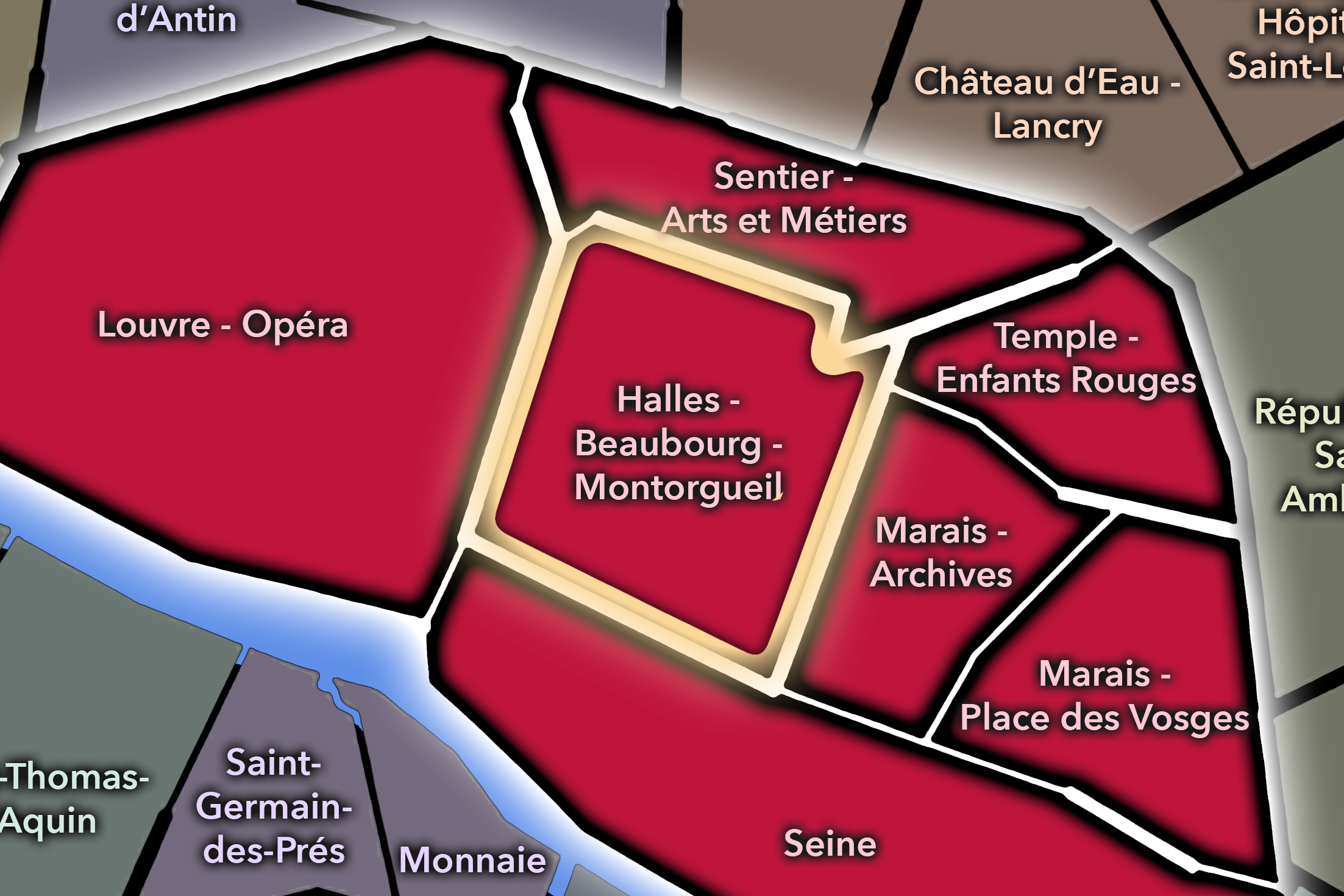
Halles - Beaubourg - Montorgueil
-
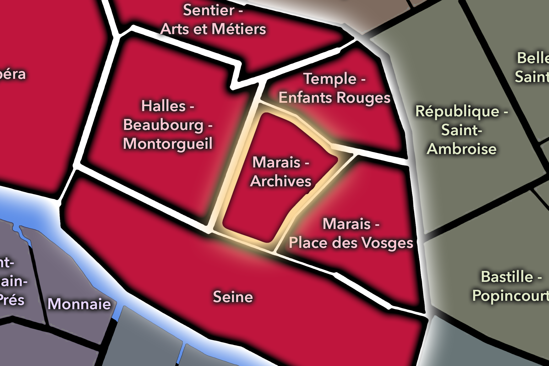
Marais - Archives
-
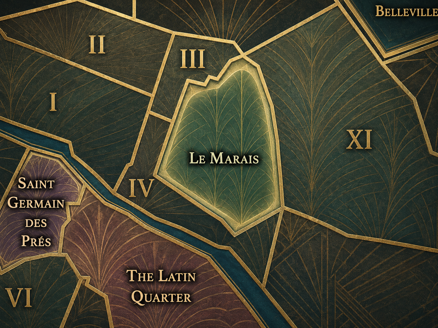
Le Marais
-

Rive Droite
The History
Origins
The origins of Sainte-Avoye belong to the gradual development of the Right Bank east of the oldest commercial center and north of the Seine. Before the district became part of the modern 3rd arrondissement, this area sat within a landscape shaped by religious foundations, roads, small properties, workshops, and the growing urbanization of the Marais and Temple sectors.
The quarter’s name suggests that a religious presence once marked the area strongly enough to leave a lasting imprint on the map. Like many early Parisian neighborhoods, its identity was not formed by a single municipal decision, but by the accumulation of sacred sites, streets, landholdings, trades, and local habits. The modern administrative name preserves one fragment of that older world.
As Paris expanded, the area became increasingly absorbed into the dense central city. Religious and semi-enclosed spaces gave way to streets, workshops, housing, commerce, and later cultural reuse. Sainte-Avoye’s origin story is therefore one of quiet urban absorption: a remembered saint, an older district, and a growing city knitting the place into its central fabric.
16th–17th Century
In the 16th and 17th centuries, the area now known as Sainte-Avoye developed within the expanding world of the Marais and the Temple district. The Marais was becoming one of the city’s significant residential and aristocratic zones, while the nearby Temple lands, religious institutions, commercial streets, and workshops created a dense mixture of social and economic life.
Sainte-Avoye’s position near Rue du Temple and the southern Marais made it part of this urban transition. It was close enough to elite and institutional landscapes to absorb their influence, but also embedded in the working fabric of the Right Bank. The streets around the quarter held religious memory, trades, residences, and the practical urban functions that sustained the growing city.
This period helped establish the quarter’s essential character as a seam. It was neither purely aristocratic nor purely commercial, neither fully monumental nor fully ordinary. It occupied the space between these identities, allowing later centuries to layer new uses onto an already complex urban ground.
18th Century
In the 18th century, Sainte-Avoye remained part of a Marais landscape in transition. Aristocratic prestige began shifting westward, and many parts of the Marais became more socially mixed. Former noble residences, religious properties, workshops, and residences adapted to changing urban needs. The quarter’s older sacred and institutional memories remained, but the daily life of the district became increasingly commercial and practical.
This was also a period in which the streets of central Paris became more intensely connected to public life: shops, cafés, printers, artisans, small industries, and local services expanded through the dense Right Bank fabric. Sainte-Avoye’s location near the Temple and the commercial core positioned it within a city where older religious and aristocratic geographies were being slowly reworked by commerce and population pressure.
The French Revolution accelerated these changes. Religious properties and old regime institutions were transformed, confiscated, reused, or erased. Sainte-Avoye’s name survived, but the world that produced it changed dramatically. As with much of the Marais, the quarter moved into the modern era carrying the ghost of older structures within a more secular and civic urban order.
19th Century
The 19th century brought modernization, new streets, commercial intensification, and social change to Sainte-Avoye and its surroundings. The broader Marais retained much of its old street pattern compared with more heavily Haussmannized parts of the city, but it was not untouched. New circulation routes, changing property uses, workshops, warehouses, and small industries altered the character of the district.
Sainte-Avoye became part of a working Marais, one where historic buildings were often adapted for practical use. Older residences and religious sites were subdivided or repurposed. Streets supported artisans, small manufacturers, merchants, and residents. The quarter’s identity became less about the original religious memory of its name and more about the everyday density of central Paris.
At the same time, its location near the city’s historic center made it part of the wider transformation of Paris into a modern capital. The contrast between old street fabric and new urban pressures gave Sainte-Avoye a layered character: medieval and early modern traces embedded within a 19th-century city of commerce, labor, and infrastructure.
Early–Mid 20th Century
In the early and mid 20th century, Sainte-Avoye remained a dense and mixed part of the central Right Bank. Like much of the Marais, it contained old buildings that were not always celebrated in the way they would be later. Workshops, small businesses, modest housing, storage spaces, religious and cultural traces, and local commerce contributed to a district that was historic but also worn, practical, and intensely used.
The broader Marais held important Jewish, immigrant, artisan, and working-class histories during this period, and while Sainte-Avoye’s particular identity is more diffuse than some neighboring areas, it belonged to that larger central landscape of coexistence and vulnerability. The upheavals of occupation, deportation, liberation, and postwar reconstruction marked the Marais as a district of memory as well as survival.
By the mid-20th century, Sainte-Avoye stood within a quarter of Paris increasingly caught between neglect and rediscovery. Its old fabric was valuable, but that value was not yet fully protected. The future of the district depended on whether historic density would be cleared, modernized, or preserved.
Late 20th Century
The late 20th century transformed Sainte-Avoye through the broader preservation and cultural revival of the Marais, as well as through the rise of Beaubourg and the Centre Pompidou nearby. Historic streets and buildings gained renewed value, while galleries, design shops, cultural institutions, restaurants, and renovated residences changed the social and visual character of the district.
This period brought the quarter into a new relationship with central Paris. The Marais was increasingly understood as heritage, but also as contemporary culture. Sainte-Avoye, positioned near Beaubourg and the southern edge of the 3rd arrondissement, became part of that transition from working historic fabric to cultural district. The old street grid remained, but new uses reshaped the atmosphere.
This transformation also brought tension. Preservation brought beauty and recognition, but also rising desirability and the displacement pressures that often accompany cultural reinvestment. Sainte-Avoye became more polished, but its identity still depended on the older irregularity of its streets and the memory of practical uses beneath the new surfaces.
21st Century
In the 21st century, Sainte-Avoye is one of the subtle connective quarters of Paris Centre. It links the Marais, Beaubourg, Arts-et-Métiers, and the older Right Bank commercial fabric through streets that feel historic without always being monumental. Galleries, cafés, shops, residences, design spaces, offices, and cultural institutions coexist within a compact urban field.
The quarter today rewards close walking. Its appeal lies in texture rather than spectacle: stone façades, shopfronts, courtyards, narrow streets, restored buildings, uneven alignments, and the sense that the city’s older layers remain near at hand. It is a place where Paris is not framed as a single grand view, but encountered through fragments.
For CityNeighborhoods: Paris, Sainte-Avoye is important because it demonstrates the value of the administrative quarter as a tool of attention. Without the official name, this area might vanish into “the Marais” or “near Beaubourg.” With the name, it becomes legible as its own piece of the city: quieter, older, transitional, and deeply woven into the historic center.
Spirit and Legacy
Sainte-Avoye is the quarter of the hidden seam. Its spirit lies in connection rather than proclamation. It carries a religious name whose variants still echo through nearby street geography, streets that have held many forms of work and residence, and a location that binds the Marais to Beaubourg, the Temple corridor, and the old commercial heart of Paris.
Its legacy is subtle survival. Sacred memory became administrative name. Older spellings persisted in nearby streets and historical references. Older fabric became working district. Working district became heritage landscape. Heritage landscape became contemporary cultural ground. Through each transformation, Sainte-Avoye remained less famous than its neighbors, but no less important to the city’s texture.
To walk Sainte-Avoye is to encounter Paris as an accumulation of quiet evidence. Not every layer announces itself. Some must be read in the grain of the street, the persistence of a name, the survival of a variant spelling, the rhythm of a façade, or the way one district leads almost imperceptibly into another. In Sainte-Avoye, neighborhood identity is not a grand declaration. It is a trace — and in Paris, traces often carry the deepest memory.
The Photography
Visual Identity

The visual identity of each Paris district begins with its position in the city’s layered geography. Before the photographs arrive, the maps establish a first way of seeing: where the district sits, what civic layer it belongs to, which boundaries define it, and how it connects to the surrounding fabric of Paris. In CityNeighborhoods Paris, cartography is not merely orientation; it is part of the visual language of the project.
As the photographic archive grows, this section will continue to develop through images gathered on foot. Streets, façades, monuments, markets, parks, river edges, passages, signs, textures, and everyday details will gradually reveal how each district presents itself visually. The goal is not only to show what a place looks like, but to trace how its identity becomes visible through form, atmosphere, memory, and use.
Through The Lens

CityNeighborhoods Paris is built from walking, looking, and returning. Each district is approached through photography as a way of paying attention: to the obvious landmarks and the quieter details, to historic structures and ordinary streets, to the moments where civic geography becomes lived experience. The camera becomes a tool for noticing how Paris changes from one district to the next, and how each place holds its own relationship to the larger city.
As photographs are processed and added, this section will become a more specific visual record of the district. Future updates may include dated field notes, galleries, and reflections from individual walks. For now, the page remains part of the larger CityNeighborhoods effort to document every Paris neighborhood through maps, history, identity, and photography — one district, one walk, and one visual encounter at a time.
If you visit Paris, these ideas can help inspire your own photography.


Paris: J’Espere, Je Rêve, Je Vive
Paris Photo Gallery
Paris Flâneur Notes
Flâneur Notes document the walks, photographs, light, and street-level observations behind this neighborhood entry. Learn more about the Spirit of the Flâneur.


Explore Paris
-

The twenty arrondissements form the civic spiral of Paris, organizing the city into its broad local districts of government, identity, and daily life.
-

Each arrondissement is divided into four official administrative quarters, giving Paris a more precise civic and geographic framework.
-

The conseils de quartier bring participation to street level, giving residents a voice in neighborhood needs, public space, and local civic life.
-

Les Deux Rives trace Paris through the Seine’s two banks, revealing how the Rive Droite and Rive Gauche shaped the city’s civic power, commerce, learning, art, and cultural identity.
-

Cultural neighborhoods reveal the Paris people recognize through history, cafés, architecture, memory, atmosphere, and local belonging.